
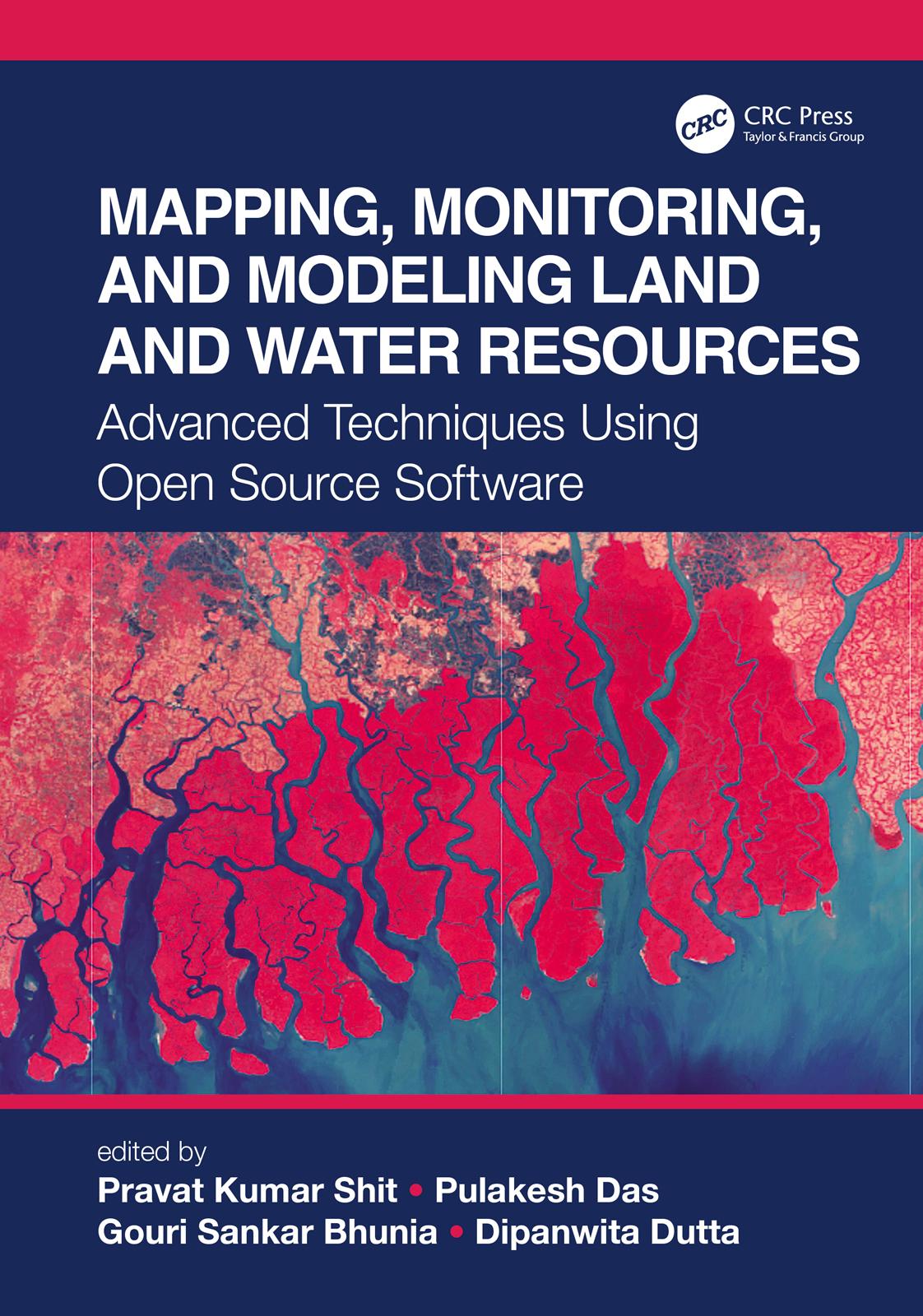
The wide range of challenges in studying Earth system dynamics due to uncertainties in climate change and complex interference from human activities is creating difficulties in managing land and water resources and ensuring their sustainable use. Mapping, Monitoring, and Modeling Land and Water Resources brings together real-world case studies accurately surveyed and assessed through spatial modeling. The book focuses on the effectiveness of combining remote sensing, geographic information systems, and R. The use of open source software for different spatial modeling cases in various fields, along with the use of remote sensing and geographic information systems, will aid researchers, students, and practitioners to understand better the phenomena and the predictions by future analyses for problem-solving and decision-making.
Pay easily by card, Klarna, Apple Pay or Google Pay. Not happy? You always have a 14-day money-back guarantee. Read more in our terms. If you have any questions, email us at hello@memmo.org.
Memmo makes studying easier – wherever you are in the world. We bring your course books and smart study tools together in one place: summaries, quizzes, podcasts and flashcards. Plus Ted, your study buddy who answers anything you wonder. Over 50,000 students already study here – built to help you learn faster and stress less.