
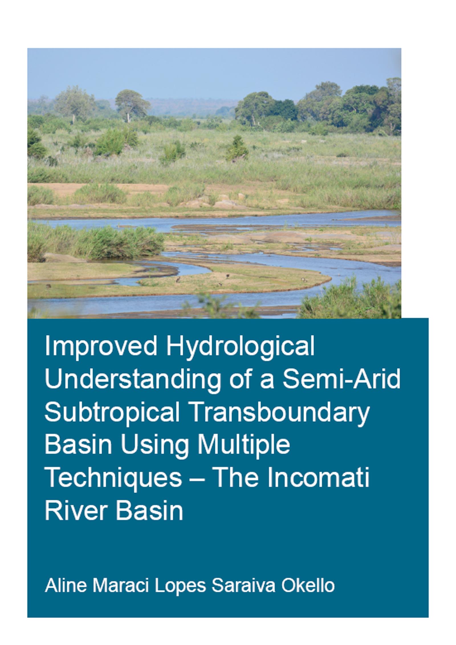
This study aims at improving the hydrological process understanding of the semi-arid and transboundary Incomati river basin to enable better water management. Comprehensive statistical and trend analysis of rainfall and streamflow were conducted, and the Indicators of Hydrological Alteration tool was deployed to describe the streamflow regime and trends over time. Land use and land cover change, particularly the conversion of natural vegetation into forest plantation, the expansion of irrigated agriculture and the flow regulation due to dam operation were identified as critical drivers of flow regime alteration. Hydrograph separation using long-term hydrochemical data at seasonal scale, and hydrochemical and isotope data at event scale were performed to quantify runoff components. A novel methodology to calibrate recursive digital filters using routinely collected water quality data was developed and tested in the catchment. This method allows for estimation of daily baseflow from readily available daily streamflow data. Dominant runoff generation zones were mapped using the Height Above Nearest Drainage approach. The hydrological model STREAM was then employed, informed by the runoff generation zones mapping and the process understanding gained in the catchment, as well as remote sensing data. The study provides the basis for better operational water management in the catchment.
Pay easily by card, Klarna, Apple Pay or Google Pay. Not happy? You always have a 14-day money-back guarantee. Read more in our terms. If you have any questions, email us at hello@memmo.org.
Memmo makes studying easier – wherever you are in the world. We bring your course books and smart study tools together in one place: summaries, quizzes, podcasts and flashcards. Plus Ted, your study buddy who answers anything you wonder. Over 50,000 students already study here – built to help you learn faster and stress less.