
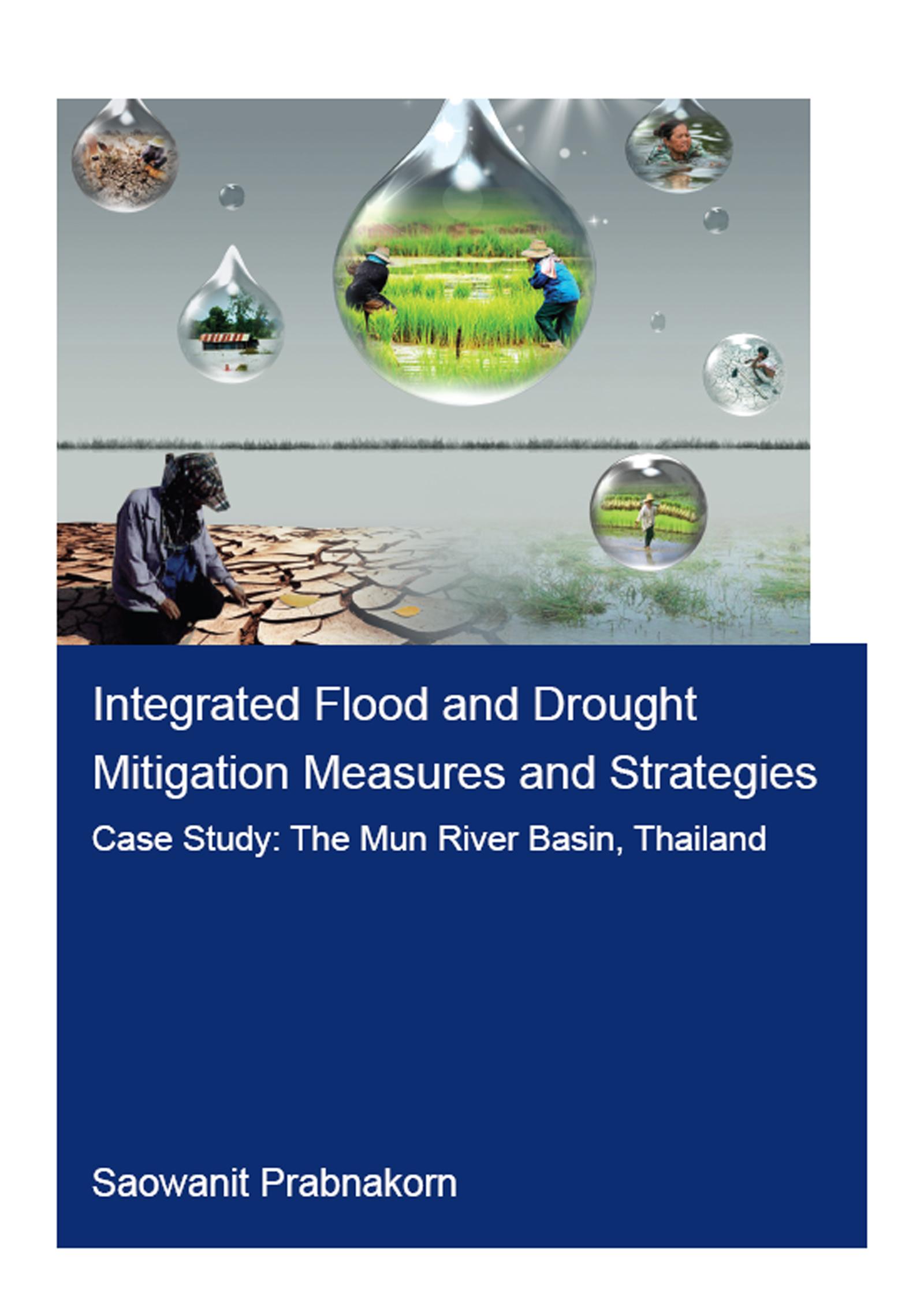
Floods and droughts are climate extremes that account for more than 80% of people affected by natural disasters worldwide. Both catastrophes co-exist in many river basins, for example, the Mun River Basin in Thailand, which is selected as the study area. Approximately 90% of rice cultivation here is rain-fed, and that results in the lowest yields in the country, making many farmers persist in poverty. This study aims to assess floods and droughts and their impacts on agriculture at the basin scale. For flooding, the hydrologic and hydraulic models were developed to produce the first completed flood hazard maps at the Mun River Basin. Droughts in the basin were determined by the proposed drought risk assessment scheme that combines all three key components (hazard, exposure, and vulnerability). Subsequently, the study attempts to tackle both floods and droughts simultaneously and sustainably by using integrated measures and strategies. If the problems caused by flood and drought climate extremes are solved, this will ensure adequate food availability and alleviate poverty in the basin. Furthermore, the study shows that a holistic approach to simultaneously solving both problems is efficient as most water will be utilized to benefit agriculture, the primary sector that feeds a growing population.
Pay easily by card, Klarna, Apple Pay or Google Pay. Not happy? You always have a 14-day money-back guarantee. Read more in our terms. If you have any questions, email us at hello@memmo.org.
Memmo makes studying easier – wherever you are in the world. We bring your course books and smart study tools together in one place: summaries, quizzes, podcasts and flashcards. Plus Ted, your study buddy who answers anything you wonder. Over 50,000 students already study here – built to help you learn faster and stress less.