
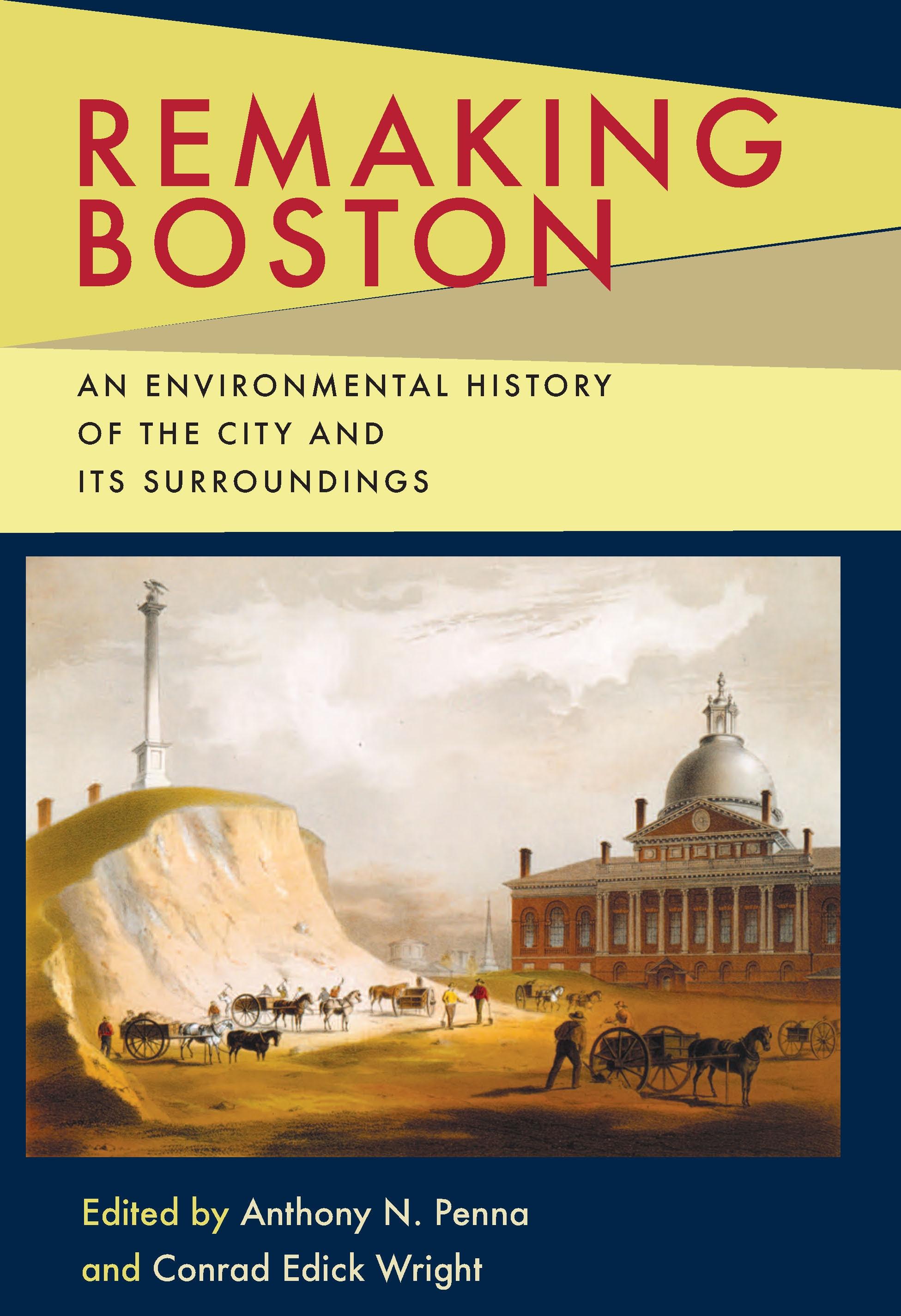
Since its settlement in 1630, Boston, its harbor, and outlying regions have witnessed a monumental transformation at the hands of humans and by nature. Remaking Boston chronicles many of the events that altered the physical landscape of Boston, while also offering multidisciplinary perspectives on the environmental history of one of America's oldest and largest metropolitan areas.
Situated on an isthmus, and blessed with a natural deepwater harbor and ocean access, Boston became an important early trade hub with Europe and the world. As its population and economy grew, developers extended the city's shoreline into the surrounding tidal mudflats to create more useable land. Further expansion of the city was achieved through the annexation of surrounding communities, and the burgeoning population and economy spread to outlying areas. The interconnection of city and suburb opened the floodgates to increased commerce, services and workforces, while also leaving a wake of roads, rails, bridges, buildings, deforestation, and pollution.
Profiling this ever-changing environment, the contributors tackle a variety of topics, including: the glacial formation of the region; physical characteristics and composition of the land and harbor; dredging, sea walling, flattening, and landfill operations in the reshaping of the Shawmut Peninsula; the longstanding controversy over the link between landfills and shoaling in shipping channels; population movements between the city and suburbs and their environmental implications; interdependence of the city and its suburbs; preservation and reclamation of the Charles River; suburban deforestation and later reforestation as byproducts of changing land use; the planned outlay of parks and parkways; and historic climate changes and the human and biological adaptations to them.
Situated on an isthmus, and blessed with a natural deepwater harbor and ocean access, Boston became an important early trade hub with Europe and the world. As its population and economy grew, developers extended the city's shoreline into the surrounding tidal mudflats to create more useable land. Further expansion of the city was achieved through the annexation of surrounding communities, and the burgeoning population and economy spread to outlying areas. The interconnection of city and suburb opened the floodgates to increased commerce, services and workforces, while also leaving a wake of roads, rails, bridges, buildings, deforestation, and pollution.
Profiling this ever-changing environment, the contributors tackle a variety of topics, including: the glacial formation of the region; physical characteristics and composition of the land and harbor; dredging, sea walling, flattening, and landfill operations in the reshaping of the Shawmut Peninsula; the longstanding controversy over the link between landfills and shoaling in shipping channels; population movements between the city and suburbs and their environmental implications; interdependence of the city and its suburbs; preservation and reclamation of the Charles River; suburban deforestation and later reforestation as byproducts of changing land use; the planned outlay of parks and parkways; and historic climate changes and the human and biological adaptations to them.
Category: Arkitektur & Stadsplanering
e-ISBN: 9780822977681
Pay easily by card, Klarna, Apple Pay or Google Pay. Not happy? You always have a 14-day money-back guarantee. Read more in our terms. If you have any questions, email us at hello@memmo.org.
Memmo makes studying easier – wherever you are in the world. We bring your course books and smart study tools together in one place: summaries, quizzes, podcasts and flashcards. Plus Ted, your study buddy who answers anything you wonder. Over 50,000 students already study here – built to help you learn faster and stress less.
You might also like
Buy the book0