
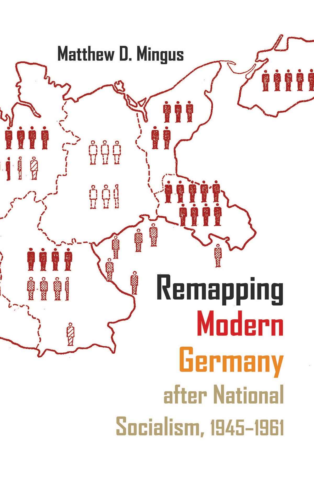
Located in the often-contentious center of the European continent, German territory has regularly served as a primary tool through which to understand and study Germany’s economic, cultural, and political development. Many German geographers throughout the nineteenth and early twentieth centuries became deeply invested in geopolitical determinism—the idea that a nation’s territorial holdings (or losses) dictate every other aspect of its existence. Taking this as his premise, Mingus focuses on the use of maps as mediums through which the United States, Great Britain, and the Soviet Union sought to reshape German national identity after the Second World War. As important as maps and the study of geography have been to the field of European history, few scholars have looked at the postwar development of occupied Germany through the lens of the map—the most effective means to orient German citizens ontologically within a clearly and purposefully delineated spatial framework. Mingus traces the institutions and individuals involved in the massive cartographic overhaul of postwar Germany. In doing so, he explores not only the causes and methods behind the production and reproduction of Germany’s mapped space but also the very real consequences of this practice.
Pay easily by card, Klarna, Apple Pay or Google Pay. Not happy? You always have a 14-day money-back guarantee. Read more in our terms. If you have any questions, email us at hello@memmo.org.
Memmo makes studying easier – wherever you are in the world. We bring your course books and smart study tools together in one place: summaries, quizzes, podcasts and flashcards. Plus Ted, your study buddy who answers anything you wonder. Over 50,000 students already study here – built to help you learn faster and stress less.
You might also like
Buy the book0