
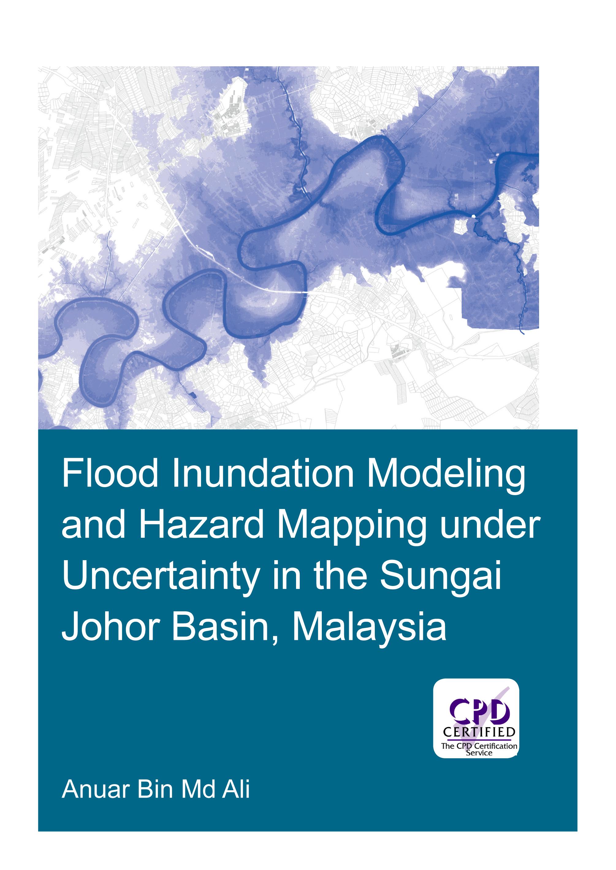
Flooding can have devastating impacts on people’s livelihood, economy and the environment. An important instrument in flood management is floodplain maps, which assist land planners and local authorities in identifying flood-prone areas, and provide useful information for rescue and relief agencies for their operations. Developing floodplain maps often involves flood inundation modeling. This typically requires precipitation and stream flow data, topographic information, building a hydraulic model and calibration of its parameters. Often however, floodplain maps are built on a single model outcome without an explicit consideration of all the sources of uncertainty in the modeling process.
The research presented in this thesis addresses the uncertainty in flood inundation modeling, which may arise from input data and hydraulic modeling approach. The study area is the Sungai Johor basin in Johor, Malaysia, an agriculture-dominated area. The present study analyses the modelling uncertainties arising from estimations of design flow, terrain data sets, geometric description in hydraulic models and different modeling approaches, and develops recommendations for practitioners. Explicit account for uncertainties and studying their impact in flood inundation mapping allow for more informed and effective decision making.
Pay easily by card, Klarna, Apple Pay or Google Pay. Not happy? You always have a 14-day money-back guarantee. Read more in our terms. If you have any questions, email us at hello@memmo.org.
Memmo makes studying easier – wherever you are in the world. We bring your course books and smart study tools together in one place: summaries, quizzes, podcasts and flashcards. Plus Ted, your study buddy who answers anything you wonder. Over 50,000 students already study here – built to help you learn faster and stress less.