
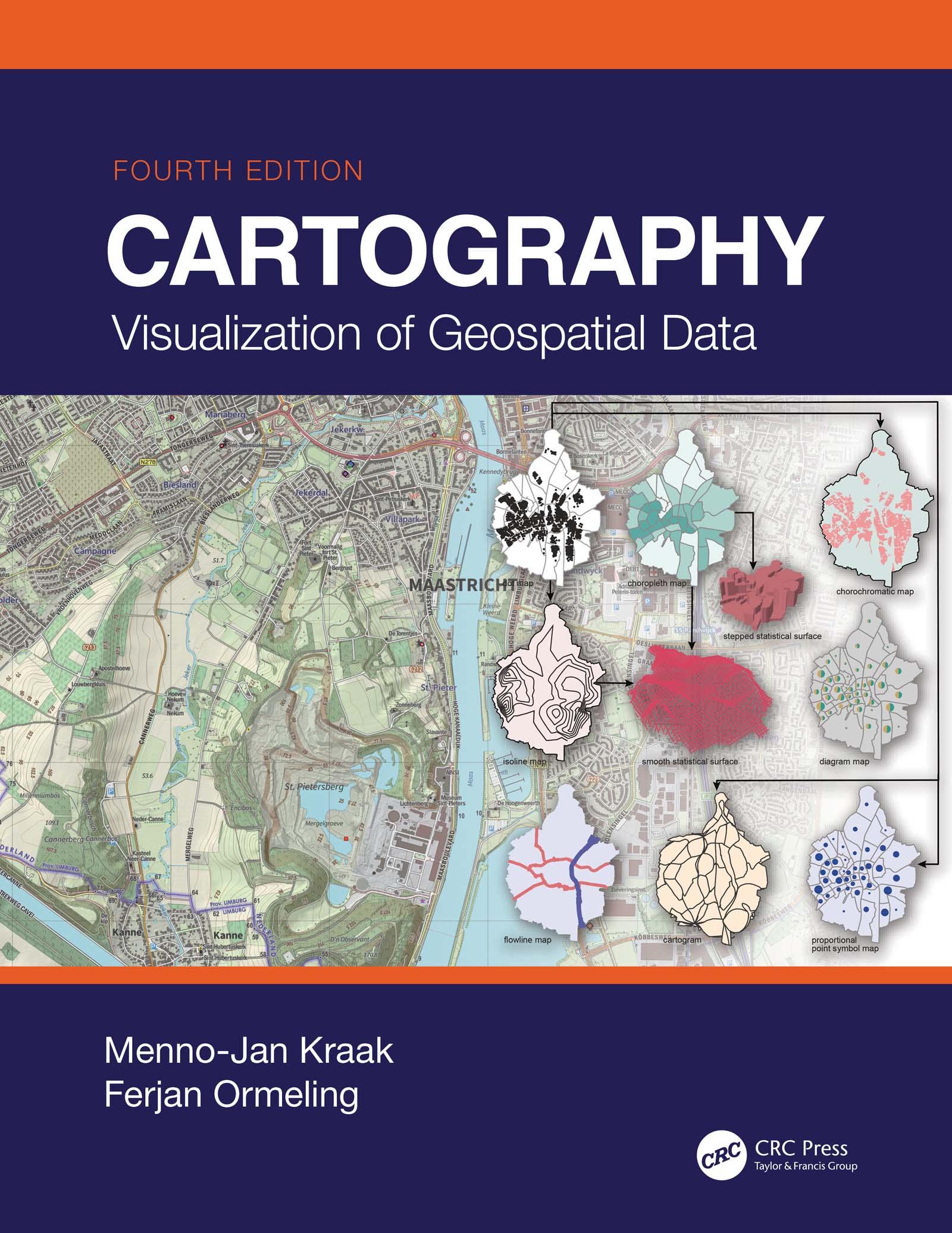
This Fourth Edition of Cartography: Visualization of Geospatial Data serves as an excellent introduction to general cartographic principles. It is an examination of the best ways to optimize the visualization and use of spatiotemporal data. Fully revised, it incorporates all the changes and new developments in the world of maps, such as OpenStreetMap and GPS (Global Positioning System) based crowdsourcing, and the use of new web mapping technology and adds new case studies and examples. Now printed in colour throughout, this edition provides students with the knowledge and skills needed to read and understand maps and mapping changes and offers professional cartographers an updated reference with the latest developments in cartography.
Written by the leading scholars in cartography, this work is a comprehensive resource, perfect for senior undergraduate and graduate students taking courses in GIS (geographic information system) and cartography.
New in This Edition:
- Provides an excellent introduction to general cartographic visualization principles through full-colour figures and images
- Addresses significant changes in data sources, technologies and methodologies, including the movement towards more open data sources and systems for mapping
- Includes new case studies and new examples for illustrating current trends in mapping
- Provides a societal and institutional framework in which future mapmakers are likely to operate, based on UN global development sustainability goals
Pay easily by card, Klarna, Apple Pay or Google Pay. Not happy? You always have a 14-day money-back guarantee. Read more in our terms. If you have any questions, email us at hello@memmo.org.
Memmo makes studying easier – wherever you are in the world. We bring your course books and smart study tools together in one place: summaries, quizzes, podcasts and flashcards. Plus Ted, your study buddy who answers anything you wonder. Over 50,000 students already study here – built to help you learn faster and stress less.