
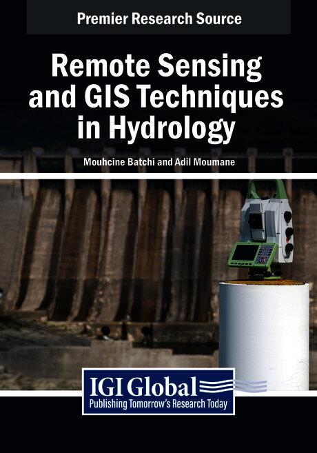
Remote sensing and Geographic Information Systems (GIS) have become essential tools in the field of hydrology, offering powerful methods for understanding and managing water resources. These technologies provide critical insights into hydrological processes, enabling better spatial analysis and decision-making to address environmental, social, and economic challenges related to water. From monitoring river basins and assessing flood risks to managing water quality and predicting droughts, remote sensing and GIS are revolutionizing how we study and interact with water systems. Remote Sensing and GIS Techniques in Hydrology delves into advanced principles and techniques, focusing on their integration with emerging technologies like unmanned aerial vehicles (UAVs), artificial intelligence, and machine learning. Through theoretical discussions, practical case studies, and innovative approaches, this publication demonstrates how remote sensing and GIS can be effectively utilized to tackle complex hydrological challenges. It serves as a valuable resource for researchers, practitioners, students, and policymakers, offering insights into state-of-the-art methodologies and fostering the adoption of advanced tools for sustainable water management.
Betala smidigt med kort, Klarna, Apple Pay eller Google Pay. Är du inte nöjd har du alltid 14 dagars ångerrätt. Läs mer i våra villkor. Har du några frågor, mejla oss på hello@memmo.org.
Memmo gör det enklare att plugga – var du än är i världen. Hos oss samlar du kursböcker och smarta studieverktyg på ett och samma ställe: sammanfattningar, quiz, poddar och flashcards. Och så Ted, din studiekompis som svarar på allt du undrar. Över 50 000 studenter pluggar redan här – byggt för att du ska lära dig snabbare och stressa mindre.
Du kanske också gillar
Köp boken0