
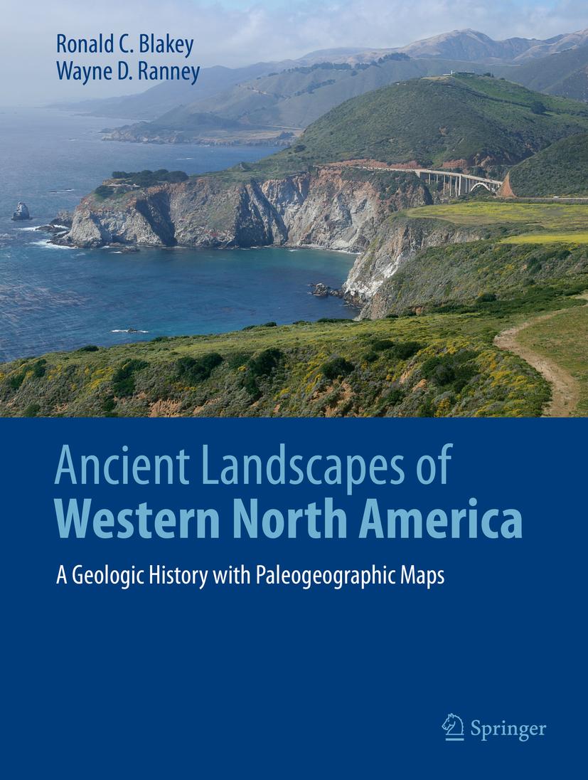
Allow yourself to be taken back into deep geologic time when strange creatures roamed the Earth and Western North America looked completely unlike the modern landscape. Volcanic islands stretched from Mexico to Alaska, most of the Pacific Rim didn’t exist yet, at least not as widespread dry land; terranes drifted from across the Pacific to dock on Western Americas’ shores creating mountains and more volcanic activity. Landscapes were transposed north or south by thousands of kilometers along huge fault systems. Follow these events through paleogeographic maps that look like satellite views of ancient Earth. Accompanying text takes the reader into the science behind these maps and the geologic history that they portray. The maps and text unfold the complex geologic history of the region as never seen before.
Winner of the 2021 John D. Haun Landmark Publication Award, AAPG-Rocky Mountain Section
Betala smidigt med kort, Klarna, Apple Pay eller Google Pay. Är du inte nöjd har du alltid 14 dagars ångerrätt. Läs mer i våra villkor. Har du några frågor, mejla oss på hello@memmo.org.
Memmo gör det enklare att plugga – var du än är i världen. Hos oss samlar du kursböcker och smarta studieverktyg på ett och samma ställe: sammanfattningar, quiz, poddar och flashcards. Och så Ted, din studiekompis som svarar på allt du undrar. Över 50 000 studenter pluggar redan här – byggt för att du ska lära dig snabbare och stressa mindre.