
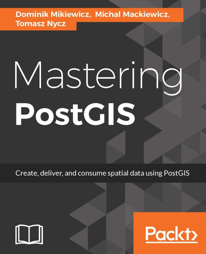
PostGIS is open source extension onf PostgreSQL object-relational database system that allows GIS objects to be stored and allows querying for information and location services. The aim of this book is to help you master the functionalities offered by PostGIS- from data creation, analysis and output, to ETL and live edits.
The book begins with an overview of the key concepts related to spatial database systems and how it applies to Spatial RMDS. You will learn to load different formats into your Postgres instance, investigate the spatial nature of your raster data, and finally export it using built-in functionalities or 3th party tools for backup or representational purposes.
Through the course of this book, you will be presented with many examples on how to interact with the database using JavaScript and Node.js. Sample web-based applications interacting with backend PostGIS will also be presented throughout the book, so you can get comfortable with the modern ways of consuming and modifying your spatial data.
Betala smidigt med kort, Klarna, Apple Pay eller Google Pay. Är du inte nöjd har du alltid 14 dagars ångerrätt. Läs mer i våra villkor. Har du några frågor, mejla oss på hello@memmo.org.
Memmo gör det enklare att plugga – var du än är i världen. Hos oss samlar du kursböcker och smarta studieverktyg på ett och samma ställe: sammanfattningar, quiz, poddar och flashcards. Och så Ted, din studiekompis som svarar på allt du undrar. Över 50 000 studenter pluggar redan här – byggt för att du ska lära dig snabbare och stressa mindre.