
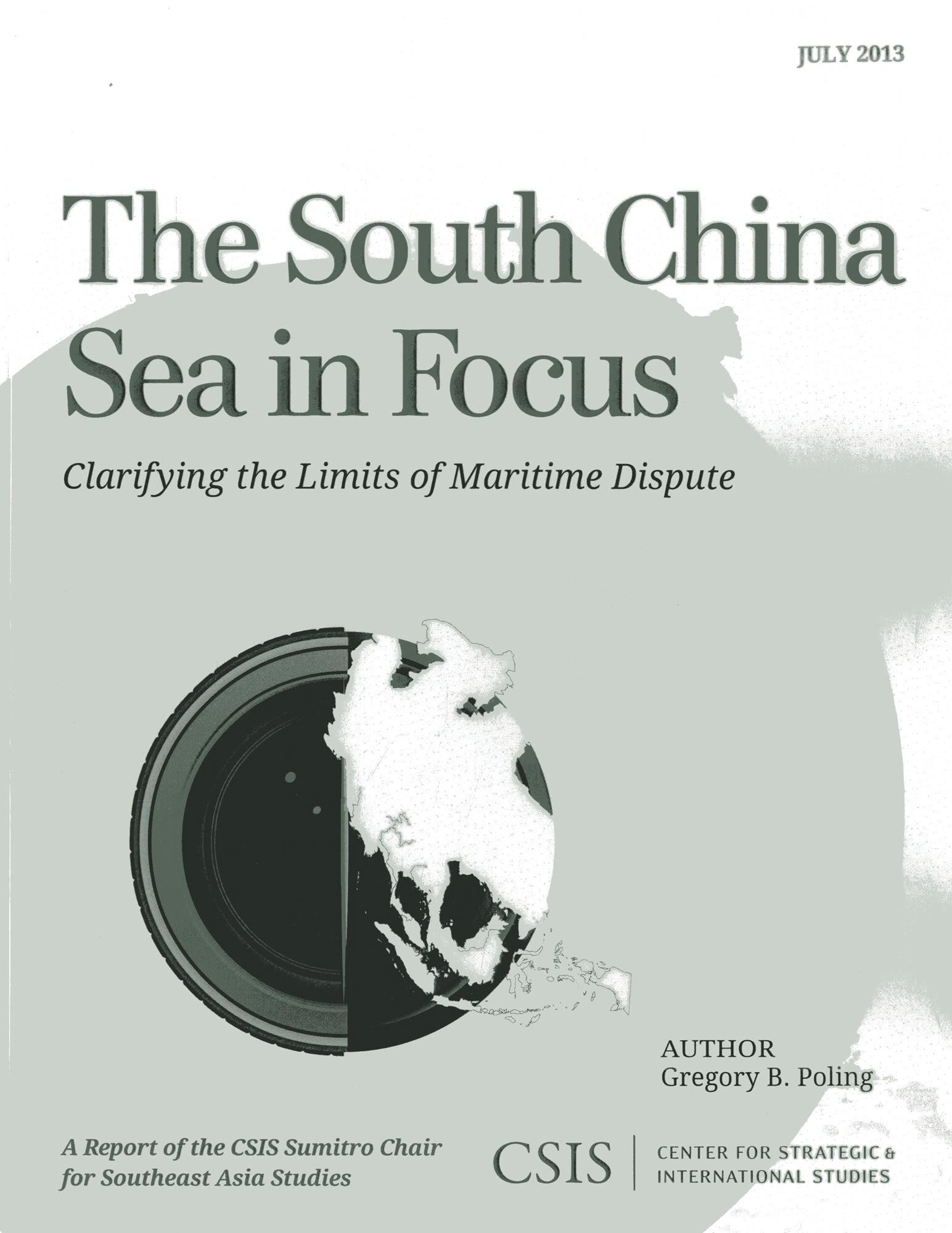
Satellite imagery and geospatial analysis tools offer an unprecedented opportunity to harness new technologies in order to help resolve boundary disputes. The South China Sea in Focus: Clarifying the Limits of Maritime Dispute uses these tools to provide a first and necessary step toward tackling the overlapping maritime disputes in the South China Sea: determining which waters are and are not in dispute under international law. The report opens with a set of geographic information system (GIS)–based maps that provide an easily understandable benchmark against which policymakers and academics can judge the claims and actions of the South China Sea claimants. More detailed color maps and methodological information follow for those who want to dig deeper into the claims and the report’s conclusions.
Sidor: 44
Kategori: Statsvetenskap & Politik
e-ISBN: 9781442224865
Fraktvikt: 1.2 kg
Skickas inom: 1-2 dagar
Betala smidigt med kort, Klarna, Apple Pay eller Google Pay. Är du inte nöjd har du alltid 14 dagars ångerrätt. Läs mer i våra villkor. Har du några frågor, mejla oss på hello@memmo.org.
Memmo gör det enklare att plugga – var du än är i världen. Hos oss samlar du kursböcker och smarta studieverktyg på ett och samma ställe: sammanfattningar, quiz, poddar och flashcards. Och så Ted, din studiekompis som svarar på allt du undrar. Över 50 000 studenter pluggar redan här – byggt för att du ska lära dig snabbare och stressa mindre.