
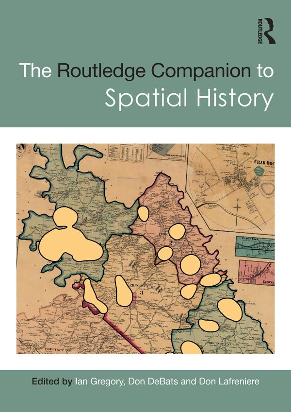
The Routledge Companion to Spatial History explores the full range of ways in which GIS can be used to study the past, considering key questions such as what types of new knowledge can be developed solely as a consequence of using GIS and how effective GIS can be for different types of research.
Global in scope and covering a broad range of subjects, the chapters in this volume discuss ways of turning sources into a GIS database, methods of analysing these databases, methods of visualising the results of the analyses, and approaches to interpreting analyses and visualisations. Chapter authors draw from a diverse collection of case studies from around the world, covering topics from state power in imperial China to the urban property market in nineteenth-century Rio de Janeiro, health and society in twentieth-century Britain and the demographic impact of the Second Battle of Ypres in 1915.
Critically evaluating both the strengths and limitations of GIS and illustrated with over two hundred maps and figures, this volume is an essential resource for all students and scholars interested in the use of GIS and spatial analysis as a method of historical research.
Betala smidigt med kort, Klarna, Apple Pay eller Google Pay. Är du inte nöjd har du alltid 14 dagars ångerrätt. Läs mer i våra villkor. Har du några frågor, mejla oss på hello@memmo.org.
Memmo gör det enklare att plugga – var du än är i världen. Hos oss samlar du kursböcker och smarta studieverktyg på ett och samma ställe: sammanfattningar, quiz, poddar och flashcards. Och så Ted, din studiekompis som svarar på allt du undrar. Över 50 000 studenter pluggar redan här – byggt för att du ska lära dig snabbare och stressa mindre.