
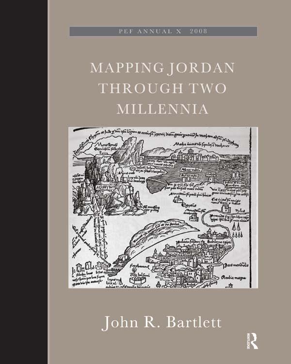
This book shows how travellers and scholars since Roman times have put together their maps of the land east of the River Jordan. It traces the contribution of Roman armies and early Christian pilgrims and medieval European travellers, Crusading armies, learned scholars like Jacob Ziegler, sixteenth-century mapmakers like Mercator and Ortelius, eighteenth-century travellers and savants, and nineteenth-century biblical scholars and explorers like Robinson and Smith, culminating in the late-nineteenth century surveyors working for the Palestine Exploration Fund. This original and valuable book shows, with full illustrations, how maps of the Transjordan region developed through the centuries, and with its detailed tables and bibliography will aid future scholars in further research.The author took part in archaeological excavations and surveys in Jordan, was Associate Professor of Biblical Studies and Fellow at Trinity College Dublin, has published research papers and books on ancient Jordan. John Bartlett was the editor of the Palestine Exploration Quarterly, and until recently was the Chairman of the Palestine Exploration Fund.
Betala smidigt med kort, Klarna, Apple Pay eller Google Pay. Är du inte nöjd har du alltid 14 dagars ångerrätt. Läs mer i våra villkor. Har du några frågor, mejla oss på hello@memmo.org.
Memmo gör det enklare att plugga – var du än är i världen. Hos oss samlar du kursböcker och smarta studieverktyg på ett och samma ställe: sammanfattningar, quiz, poddar och flashcards. Och så Ted, din studiekompis som svarar på allt du undrar. Över 50 000 studenter pluggar redan här – byggt för att du ska lära dig snabbare och stressa mindre.
Du kanske också gillar
Köp boken0