
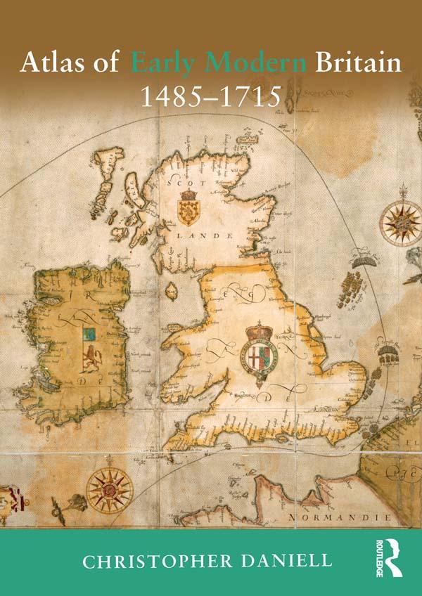
The Atlas of Early Modern Britain presents a unique visual survey of British history from the end of the Wars of the Roses through to the accession of George I in 1715. Featuring 117 maps, accompanied throughout by straightforward commentary and analysis, the atlas begins with a geographical section embracing England, Scotland, Ireland and Wales and providing clear orientation for the reader. It then focuses separately on the sixteenth and seventeenth centuries, dividing its coverage of each into four key themes: Geography and Counties - Outlining in detail how Britain's geography was shaped during the period; Politics and War - the main campaigns, rebellions and political changes in each century; Religion - including denominational concentrations, diocesan boundaries and witch trials; Economy and Culture -charting Britain's wealthiest towns, the locations of Britain's houses of aristocracy and the effects of The Great Fire of London; The broad scope of the atlas combines essential longer-term political, social, cultural and economic developments as well as key events such as the Spanish Armada, the Dissolution of the Monasteries, the Civil War and the Glorious Revolution. Its blend of clear visual aids and concise analysis represents an indispensable background and reference resource for all students of the early modern period.
Betala smidigt med kort, Klarna, Apple Pay eller Google Pay. Är du inte nöjd har du alltid 14 dagars ångerrätt. Läs mer i våra villkor. Har du några frågor, mejla oss på hello@memmo.org.
Memmo gör det enklare att plugga – var du än är i världen. Hos oss samlar du kursböcker och smarta studieverktyg på ett och samma ställe: sammanfattningar, quiz, poddar och flashcards. Och så Ted, din studiekompis som svarar på allt du undrar. Över 50 000 studenter pluggar redan här – byggt för att du ska lära dig snabbare och stressa mindre.