
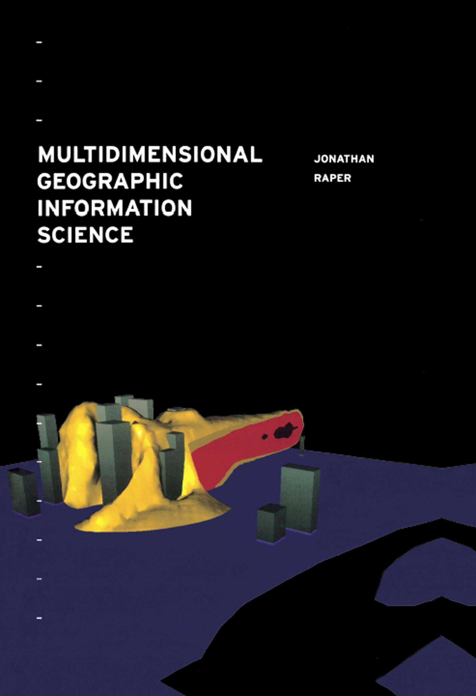
Geographic Information Systems mainly tend to be two dimensional, thus limiting the applications. As GIS are being developed, researchers and practioners are finding new ways of making GIS three dimensional, even four dimensional in some instances, increasing their usability. This book focuses on the way in which GIS could be made `multidimensional' based on the modelling limitations of current 2D GIS. It suggests extending GIS to incorporate the third and fourth dimensions, as well as time (spatio-temporal GIS), using a variety of programming techniques and discusses current examples of multidimensional GIS.
Betala smidigt med kort, Klarna, Apple Pay eller Google Pay. Är du inte nöjd har du alltid 14 dagars ångerrätt. Läs mer i våra villkor. Har du några frågor, mejla oss på hello@memmo.org.
Memmo gör det enklare att plugga – var du än är i världen. Hos oss samlar du kursböcker och smarta studieverktyg på ett och samma ställe: sammanfattningar, quiz, poddar och flashcards. Och så Ted, din studiekompis som svarar på allt du undrar. Över 50 000 studenter pluggar redan här – byggt för att du ska lära dig snabbare och stressa mindre.
Du kanske också gillar
Köp boken0