
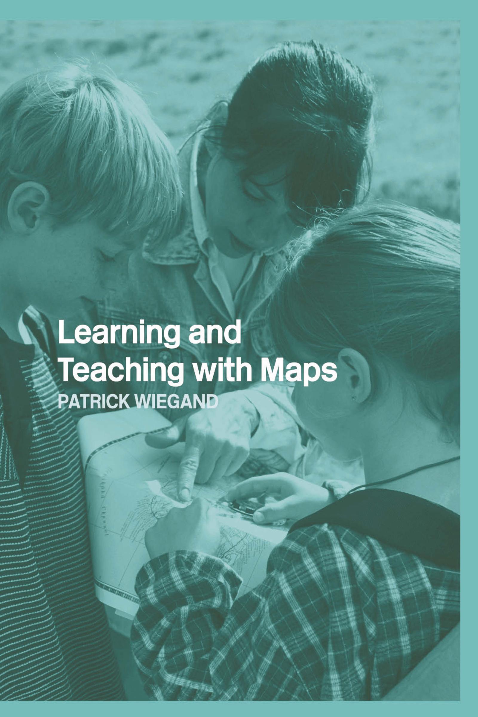
A comprehensive and authoritative account of how primary school children and teachers can use maps to enhance learning and deepen understanding of this essential skill. It includes all aspects of map use, such as reading and interpreting maps and using maps to find the way, covering maps of all scales, including globes and atlases. The text is extensively illustrated with examples, including maps made by children themselves using conventional materials as well as computer software.
A particular feature of the book is the integration of digital and conventional mapping, and Internet and CD-ROM cartography together with simple applications of Geographic Information Systems (GIS) appropriate to the needs of children right through primary and secondary education.
This book will be of great use to all primary teachers and subject teachers in secondary school as well as non-specialist geography teachers, and will enable children to use all types of maps in new, compelling and thoughtful ways.
Betala smidigt med kort, Klarna, Apple Pay eller Google Pay. Är du inte nöjd har du alltid 14 dagars ångerrätt. Läs mer i våra villkor. Har du några frågor, mejla oss på hello@memmo.org.
Memmo gör det enklare att plugga – var du än är i världen. Hos oss samlar du kursböcker och smarta studieverktyg på ett och samma ställe: sammanfattningar, quiz, poddar och flashcards. Och så Ted, din studiekompis som svarar på allt du undrar. Över 50 000 studenter pluggar redan här – byggt för att du ska lära dig snabbare och stressa mindre.