
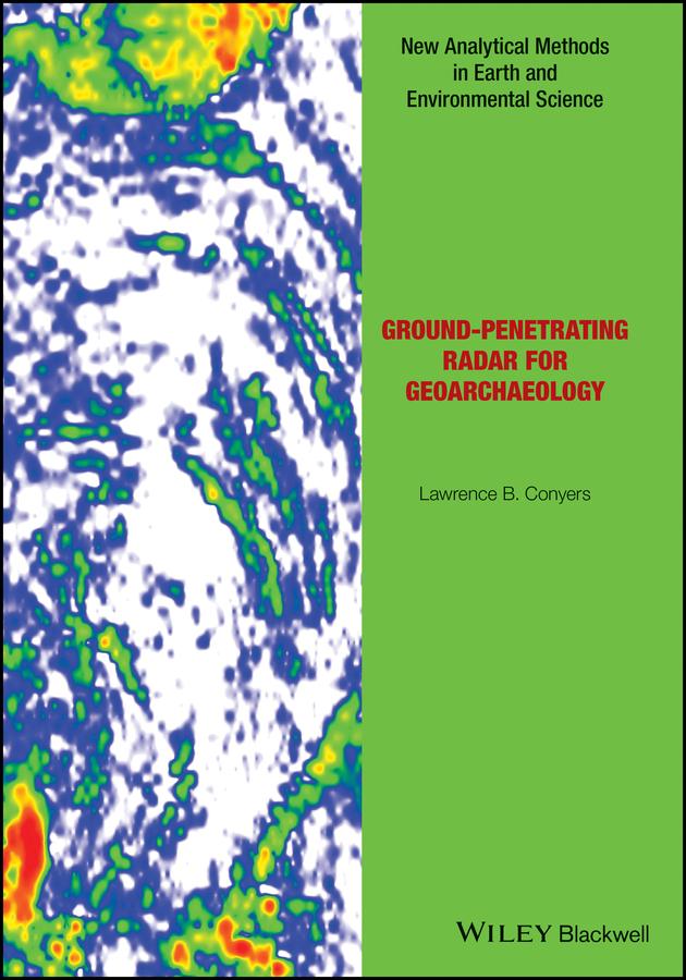
There has long been a strong collaboration between geologists and archaeologists, and the sub-field of geoarchaeology is well developed as a discipline in its own right. This book now bridges the gap between those fields and the geophysical technique of ground-penetrating radar (GPR), which allows for three-dimensional analysis of the ground to visualize both geological and archaeological materials. This method has the ability to produce images of the ground that display complex packages of materials, and allows researchers to integrate sedimentary units, soils and associated archaeological features in ways not possible using standard excavation techniques. The ability of GPR to visualize all these buried units can help archaeologists place ancient people within the landscapes and environments of their time, and understand their burial and preservation phenomena in three-dimensions.
Readership: Advanced students in archaeology and geoarchaeology, as well as practicing archaeologists with an interest in GPS techniques.
Betala smidigt med kort, Klarna, Apple Pay eller Google Pay. Är du inte nöjd har du alltid 14 dagars ångerrätt. Läs mer i våra villkor. Har du några frågor, mejla oss på hello@memmo.org.
Memmo gör det enklare att plugga – var du än är i världen. Hos oss samlar du kursböcker och smarta studieverktyg på ett och samma ställe: sammanfattningar, quiz, poddar och flashcards. Och så Ted, din studiekompis som svarar på allt du undrar. Över 50 000 studenter pluggar redan här – byggt för att du ska lära dig snabbare och stressa mindre.