
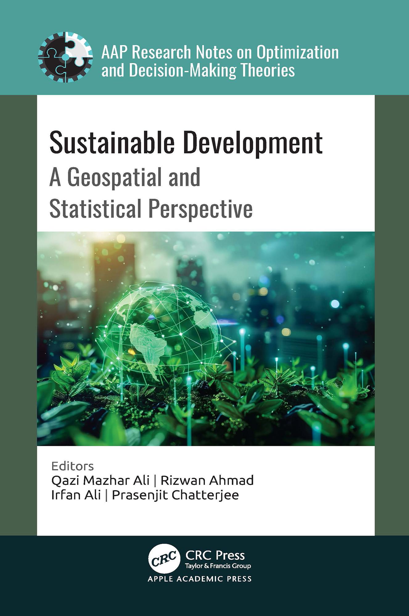
A comprehensive exploration of the intersection between the United Nations’ Sustainable Development Goals (SDGs) and geospatial technology, this new book analyzes how geospatial and statistical information, including satellite imagery, geographic information systems, remote sensing, and statistical tools and data analysis techniques, are effectively employed to assess, monitor, and facilitate sustainable development initiatives.
Betala smidigt med kort, Klarna, Apple Pay eller Google Pay. Är du inte nöjd har du alltid 14 dagars ångerrätt. Läs mer i våra villkor. Har du några frågor, mejla oss på hello@memmo.org.
Memmo gör det enklare att plugga – var du än är i världen. Hos oss samlar du kursböcker och smarta studieverktyg på ett och samma ställe: sammanfattningar, quiz, poddar och flashcards. Och så Ted, din studiekompis som svarar på allt du undrar. Över 50 000 studenter pluggar redan här – byggt för att du ska lära dig snabbare och stressa mindre.