
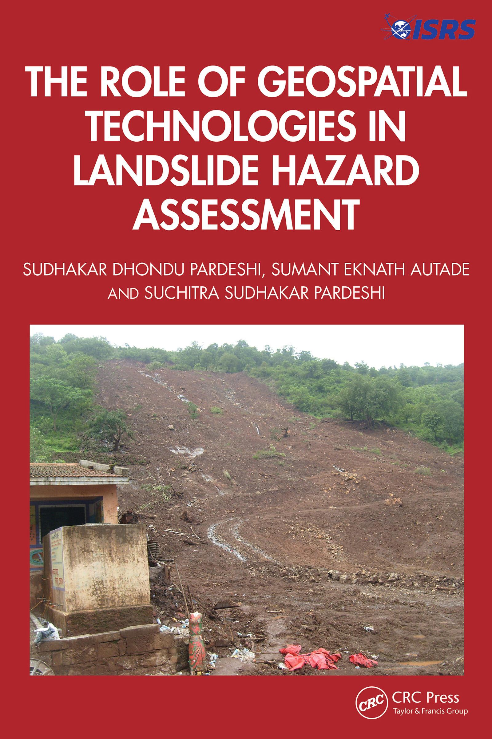
This book is designed to provide a detailed, methodological framework for landslide hazard assessment. The focus is on various dimensions of landslide hazard assessment, including the terminologies used in landslide hazard analysis and landslide inventory systems used globally and their relevance in generating a complete and reliable landslide database for further analysis, supported by global case studies. It includes an overview of the methodological developments in landslide hazard assessment and role of geospatial technologies in landslide studies.
Features:
- Helps readers to understand the technical details of geospatial techniques applied in hazard management.
- Deals with the practicalities of how to recognise and classify unstable terrain.
- Covers recent advances in landslide estimation, particularly the automated means of landslide susceptibility estimation.
- Explores methodological frameworks of landslide hazard assessment.
- Illustrates case studies from the United States, Europe, and Asia, including demonstrations of different methodologies of landslide susceptibility zonation.
This book is aimed at researchers, graduate students, and libraries in geotechnical and environmental engineering.
Betala smidigt med kort, Klarna, Apple Pay eller Google Pay. Är du inte nöjd har du alltid 14 dagars ångerrätt. Läs mer i våra villkor. Har du några frågor, mejla oss på hello@memmo.org.
Memmo gör det enklare att plugga – var du än är i världen. Hos oss samlar du kursböcker och smarta studieverktyg på ett och samma ställe: sammanfattningar, quiz, poddar och flashcards. Och så Ted, din studiekompis som svarar på allt du undrar. Över 50 000 studenter pluggar redan här – byggt för att du ska lära dig snabbare och stressa mindre.