
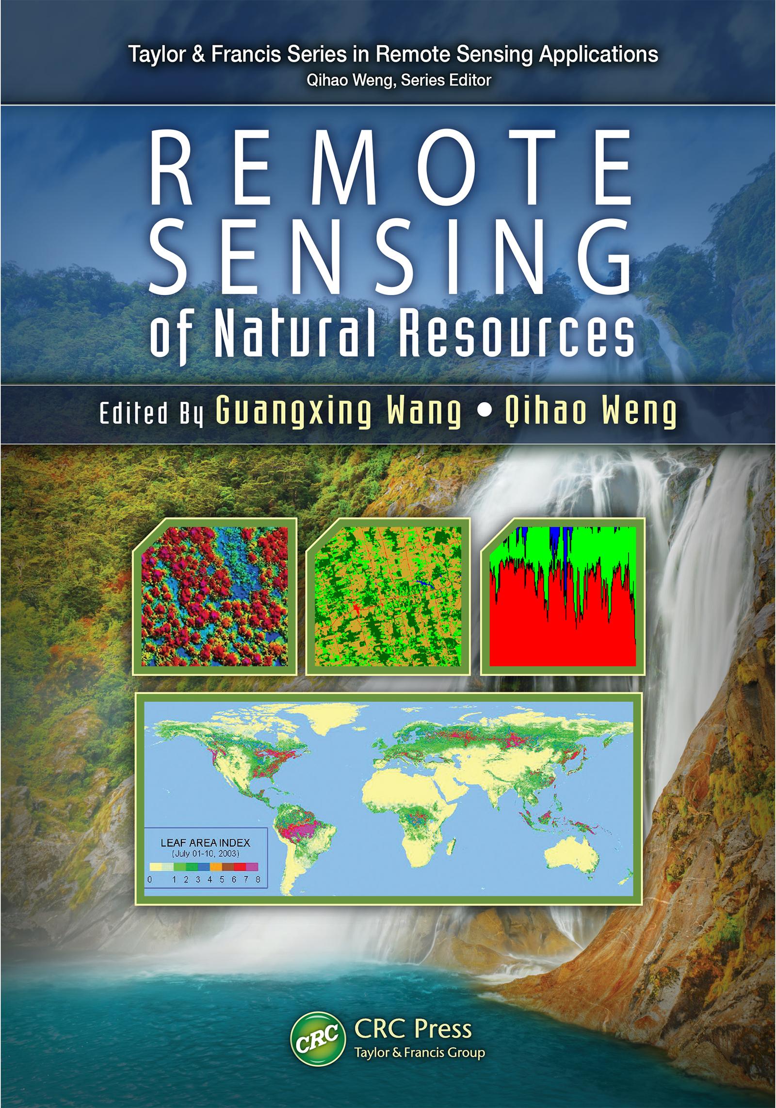
Highlighting new technologies, Remote Sensing of Natural Resources explores advanced remote sensing systems and algorithms for image processing, enhancement, feature extraction, data fusion, image classification, image-based modeling, image-based sampling design, map accuracy assessment and quality control. It also discusses their applications for evaluation of natural resources, including sampling design, land use and land cover classification, natural landscape and ecosystem assessment, forestry, agriculture, biomass and carbon-cycle modeling, wetland classification and dynamics monitoring, and soils and minerals mapping.
The book combines review articles with case studies that demonstrate recent advances and developments of methods, techniques, and applications of remote sensing, with each chapter on a specific area of natural resources. Through a comprehensive examination of the wide range of applications of remote sensing technologies to natural resources, the book provides insight into advanced remote sensing systems, technologies, and algorithms for researchers, scientists, engineers, and decision makers.
Betala smidigt med kort, Klarna, Apple Pay eller Google Pay. Är du inte nöjd har du alltid 14 dagars ångerrätt. Läs mer i våra villkor. Har du några frågor, mejla oss på hello@memmo.org.
Memmo gör det enklare att plugga – var du än är i världen. Hos oss samlar du kursböcker och smarta studieverktyg på ett och samma ställe: sammanfattningar, quiz, poddar och flashcards. Och så Ted, din studiekompis som svarar på allt du undrar. Över 50 000 studenter pluggar redan här – byggt för att du ska lära dig snabbare och stressa mindre.