
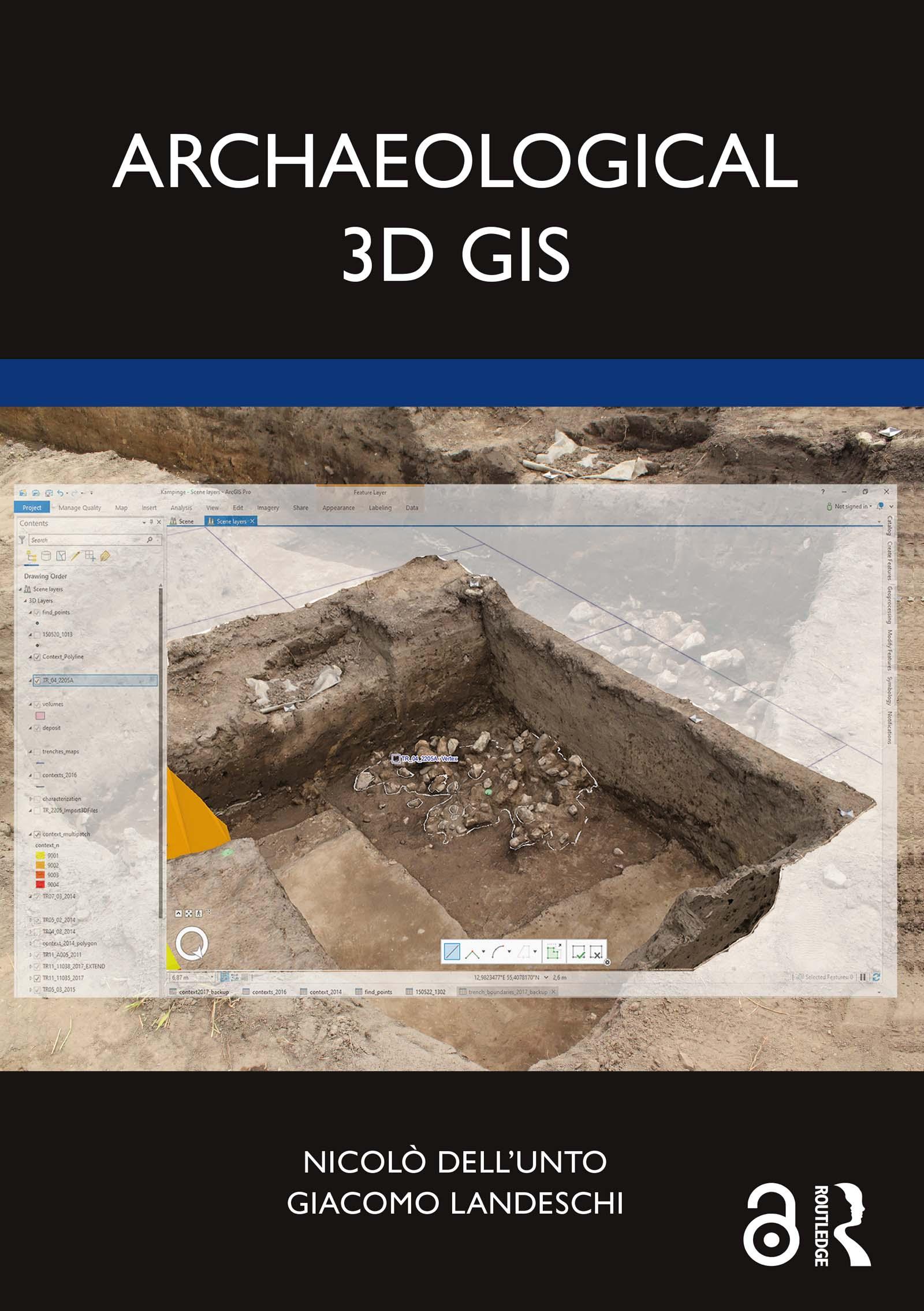
Archaeological 3D GIS provides archaeologists with a guide to explore and understand the unprecedented opportunities for collecting, visualising, and analysing archaeological datasets in three dimensions.
With platforms allowing archaeologists to link, query, and analyse in a virtual, georeferenced space information collected by different specialists, the book highlights how it is possible to re-think aspects of theory and practice which relate to GIS. It explores which questions can be addressed in such a new environment and how they are going to impact the way we interpret the past. By using material from several international case studies such as Pompeii, Çatalhöyük, as well as prehistoric and protohistoric sites in Southern Scandinavia, this book discusses the use of the third dimension in support of archaeological practice.
This book will be essential for researchers and scholars who focus on archaeology and spatial analysis, and is designed and structured to serve as a textbook for GIS and digital archaeology courses.
The Open Access version of this book, available at www.taylorfrancis.com, has been made available under a Creative Commons Attribution-Non Commercial-No Derivatives 4.0 license.
Betala smidigt med kort, Klarna, Apple Pay eller Google Pay. Är du inte nöjd har du alltid 14 dagars ångerrätt. Läs mer i våra villkor. Har du några frågor, mejla oss på hello@memmo.org.
Memmo gör det enklare att plugga – var du än är i världen. Hos oss samlar du kursböcker och smarta studieverktyg på ett och samma ställe: sammanfattningar, quiz, poddar och flashcards. Och så Ted, din studiekompis som svarar på allt du undrar. Över 50 000 studenter pluggar redan här – byggt för att du ska lära dig snabbare och stressa mindre.