
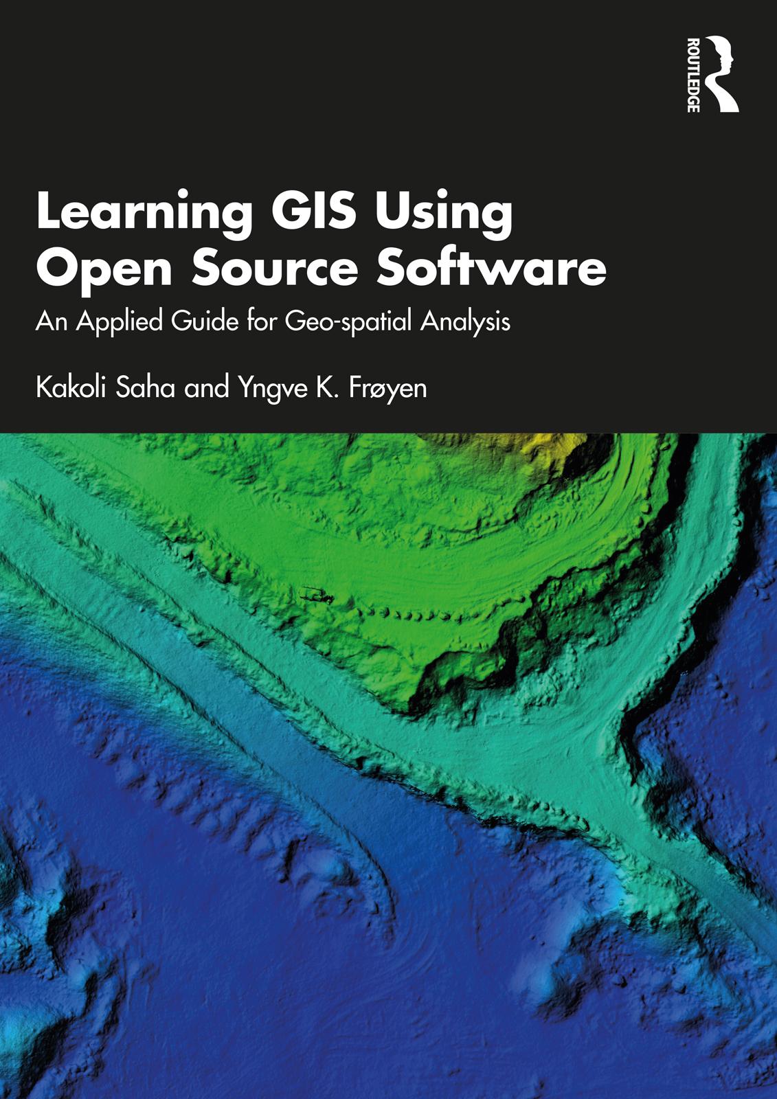
This book introduces the usage, functionality, and application of data in geographic information systems (GIS) for geo-spatial analysis. It offers knowledge on GIS tools and techniques and explains how they can be applied in real-world project to architects and planners in the Indian and the Greater South Asian context using open-source software.
The volume explains concepts on planning and architectural tasks, their data, methods and requirements followed, and includes GIS-related exercises on the same tasks. It takes the reader through the concepts of geo-spatial analysis and its referencing system while quoting examples from India. Further, the content of the book will help the planners involved in preparing GIS-based master planning for cities under the Atal Mission for Rejuvenation and Urban Transformation (AMRUT) scheme (see Glossary for details).
A practical guidebook providing a step-by-step guide to learn open source GIS, this book will be useful for students, scholars and professionals from the field of architecture and planning, geography and other spatial sciences, instructors of GIS courses on planning and architecture, urban and regional planners, transport planners, urban design, landscape architects, environmental planners, departments of town and country planning, and development authorities. It will also be useful for anyone interested in the geospatial analysis.
Betala smidigt med kort, Klarna, Apple Pay eller Google Pay. Är du inte nöjd har du alltid 14 dagars ångerrätt. Läs mer i våra villkor. Har du några frågor, mejla oss på hello@memmo.org.
Memmo gör det enklare att plugga – var du än är i världen. Hos oss samlar du kursböcker och smarta studieverktyg på ett och samma ställe: sammanfattningar, quiz, poddar och flashcards. Och så Ted, din studiekompis som svarar på allt du undrar. Över 75 000 studenter pluggar redan här – byggt för att du ska lära dig snabbare och stressa mindre.