
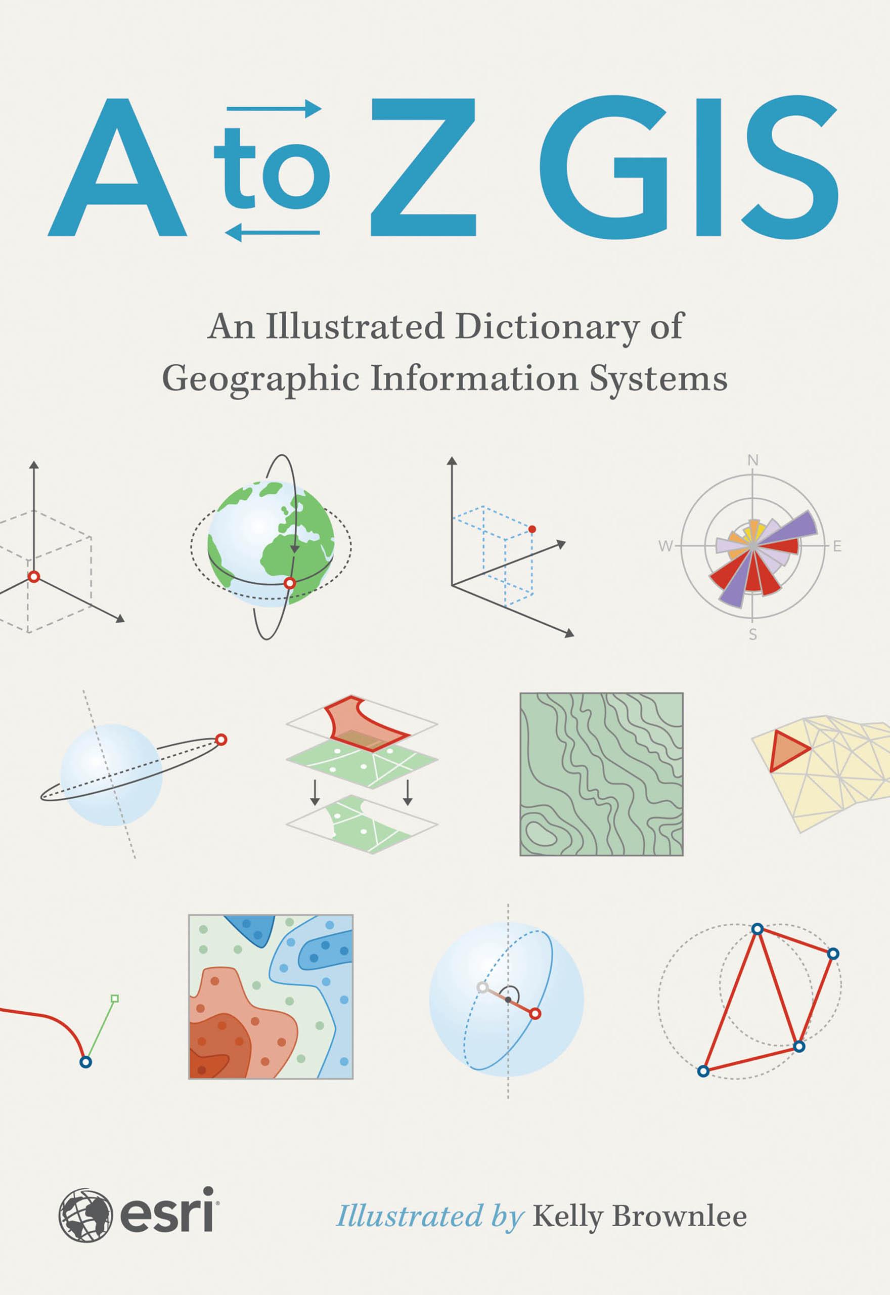
The must-have desk reference to terminology in geographic information systems (GIS).
As GIS technology has evolved and grown, so has the language of this powerful tool. Elevate your understanding of GIS with the newly updated and expanded third edition of A to Z GIS: An Illustrated Dictionary of Geographic Information Systems. With more than 1,400 new terms and nearly 400 high-quality illustrations, this popular comprehensive dictionary is essential for managers, programmers, users, writers, editors, and students discovering the interdisciplinary nature of GIS.
Written, developed, and reviewed by more than 200 subject matter experts, the fully cross-referenced dictionary is packed with nearly 3,000 terms. With clear definitions and helpful illustrations, A to Z GIS: An Illustrated Dictionary of Geographic Information Systems is a crucial resource for anyone in GIS.
Płać wygodnie kartą, Klarną, Apple Pay lub Google Pay. Nie jesteś zadowolony? Zawsze masz 14-dniową gwarancję zwrotu pieniędzy. Więcej przeczytasz w naszych warunkach. Masz pytania? Napisz do nas na hello@memmo.org.
Memmo ułatwia naukę – gdziekolwiek jesteś na świecie. U nas znajdziesz podręczniki i sprytne narzędzia do nauki w jednym miejscu: streszczenia, quizy, podcasty i fiszki. A do tego Ted, Twój kumpel do nauki, który odpowie na wszystko, co Cię nurtuje. Ponad 50 000 studentów już tu się uczy – stworzone, byś uczył się szybciej i mniej stresował.