
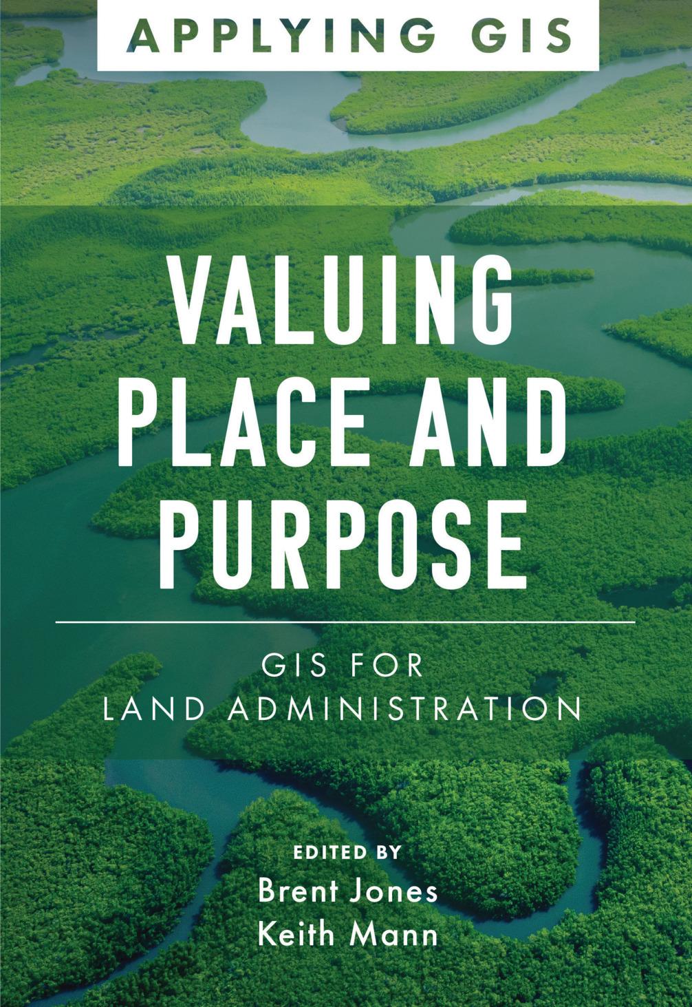
Modern land administration applies geospatial thinking to better understand and plan the proper use, conservation, and equitable use of land and property.
Location intelligence is changing the way land administration works to protect and maintain appropriate land use and achieve better economic, environmental, and social benefits. The real-life stories in Valuing Place and Purpose: GIS for Land Administration show how communities, government agencies, nonprofits, and other organizations implement geographic information systems (GIS) in four key areas:
· Visualizing parcels and property
· Managing land use
· Strengthening climate and conservation efforts
· Addressing land rights, equity, and social justice
The book also includes a special section to help readers get started using web apps, online maps, dashboards, and other GIS solutions to represent and understand the value of land and property and efficiently manage, edit, and share land parcel data more accurately.
Płać wygodnie kartą, Klarną, Apple Pay lub Google Pay. Nie jesteś zadowolony? Zawsze masz 14-dniową gwarancję zwrotu pieniędzy. Więcej przeczytasz w naszych warunkach. Masz pytania? Napisz do nas na hello@memmo.org.
Memmo ułatwia naukę – gdziekolwiek jesteś na świecie. U nas znajdziesz podręczniki i sprytne narzędzia do nauki w jednym miejscu: streszczenia, quizy, podcasty i fiszki. A do tego Ted, Twój kumpel do nauki, który odpowie na wszystko, co Cię nurtuje. Ponad 50 000 studentów już tu się uczy – stworzone, byś uczył się szybciej i mniej stresował.