
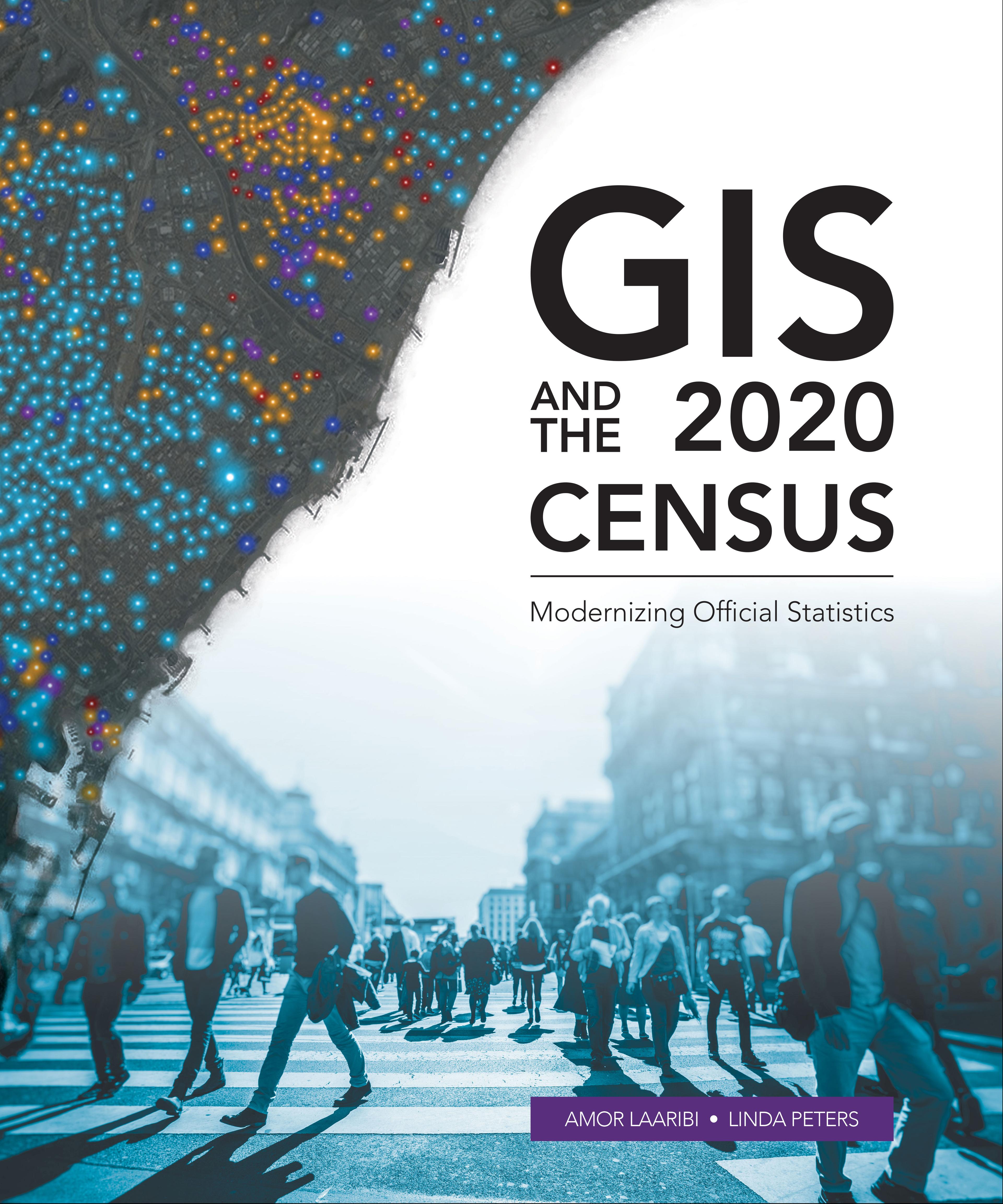
Census workers need to capture and analyze information at the finest geographic level with mobile and geospatial-based technology.
GIS and the 2020 Census: Modernizing Official Statistics guides statistical organizations with the most recent GIS methodologies and technological tools to support census workers’ needs at all the stages of a census. Learn how to plan and carry out census work with GIS using new technologies for field data collection and operations management. After planning and collecting data, apply innovative solutions for performing statistical analysis, data integration and dissemination. Additional topics cover cloud computing, big data, location as a Service (LaaS), and emerging data sources.
While GIS and the 2020 Census focuses on using GIS and other geospatial technology in support of census planning and operations, it also offers guidelines for building a statistical-geospatial information infrastructure in support of the 2020 Round of Censuses, evidence-based decision-making, and sustainable development. Case studies illustrate concepts in practice.
Płać wygodnie kartą, Klarną, Apple Pay lub Google Pay. Nie jesteś zadowolony? Zawsze masz 14-dniową gwarancję zwrotu pieniędzy. Więcej przeczytasz w naszych warunkach. Masz pytania? Napisz do nas na hello@memmo.org.
Memmo ułatwia naukę – gdziekolwiek jesteś na świecie. U nas znajdziesz podręczniki i sprytne narzędzia do nauki w jednym miejscu: streszczenia, quizy, podcasty i fiszki. A do tego Ted, Twój kumpel do nauki, który odpowie na wszystko, co Cię nurtuje. Ponad 50 000 studentów już tu się uczy – stworzone, byś uczył się szybciej i mniej stresował.