
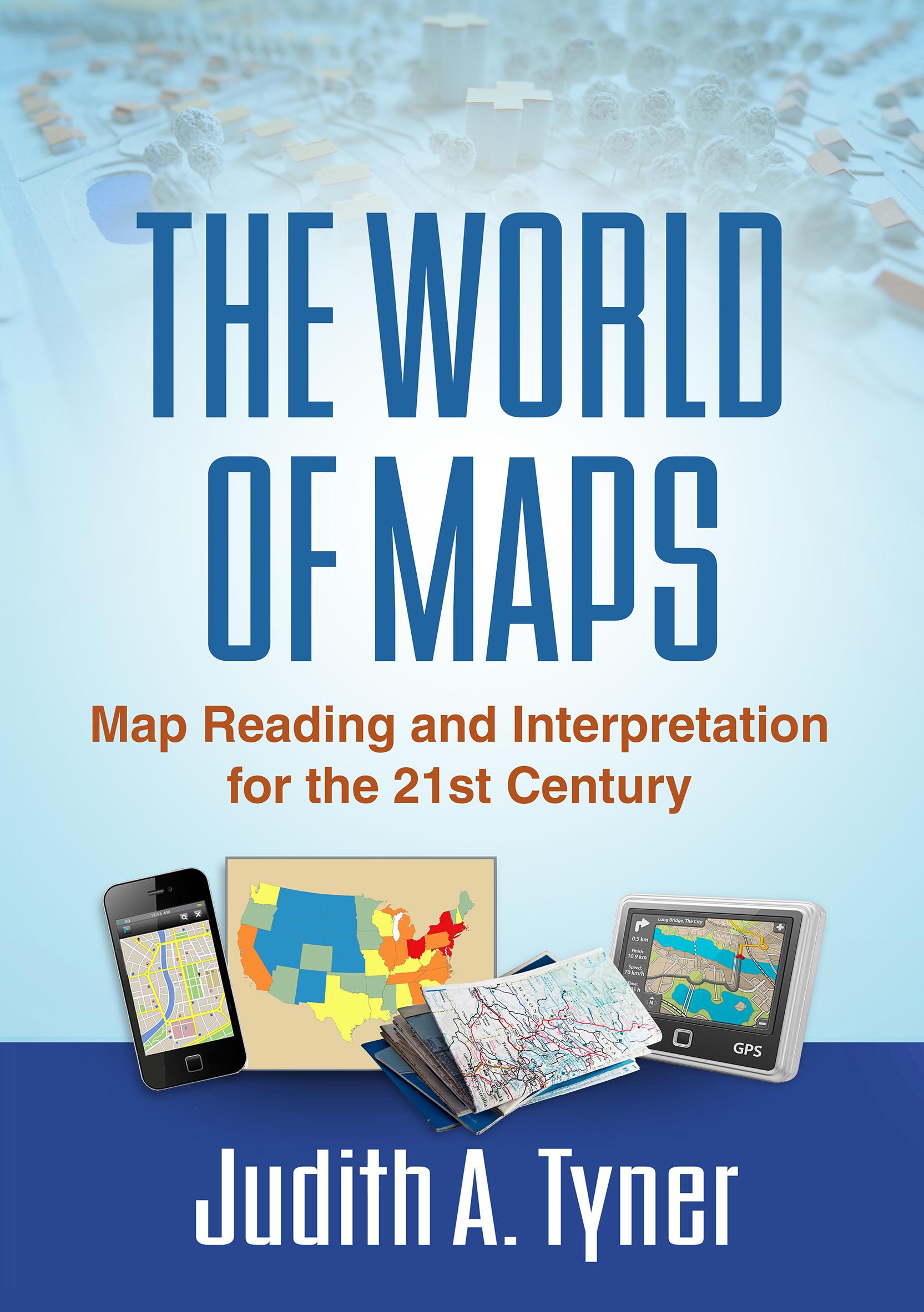
Maps have power--they can instruct, make life easier, mislead, or even lie. This engaging text provides the tools to read, analyze, and use any kind of map and assess its strengths and weaknesses. Requiring no advanced math skills, the book presents basic concepts of symbolization, scale, coordinate systems, and projections. It gives students a deeper understanding of the types of maps they encounter every day, from turn-by-turn driving directions to the TV weather report. Readers also learn how to use multiple maps and imagery to analyze an area or region. The book includes 168 figures, among them 22 color plates; most of the figures can be downloaded as PowerPoint slides from the companion website. Appendices contain a glossary, recommended resources, a table of commonly used projections, and more.
Płać wygodnie kartą, Klarną, Apple Pay lub Google Pay. Nie jesteś zadowolony? Zawsze masz 14-dniową gwarancję zwrotu pieniędzy. Więcej przeczytasz w naszych warunkach. Masz pytania? Napisz do nas na hello@memmo.org.
Memmo ułatwia naukę – gdziekolwiek jesteś na świecie. U nas znajdziesz podręczniki i sprytne narzędzia do nauki w jednym miejscu: streszczenia, quizy, podcasty i fiszki. A do tego Ted, Twój kumpel do nauki, który odpowie na wszystko, co Cię nurtuje. Ponad 50 000 studentów już tu się uczy – stworzone, byś uczył się szybciej i mniej stresował.
Może Ci się spodobać
Kup książkę0