
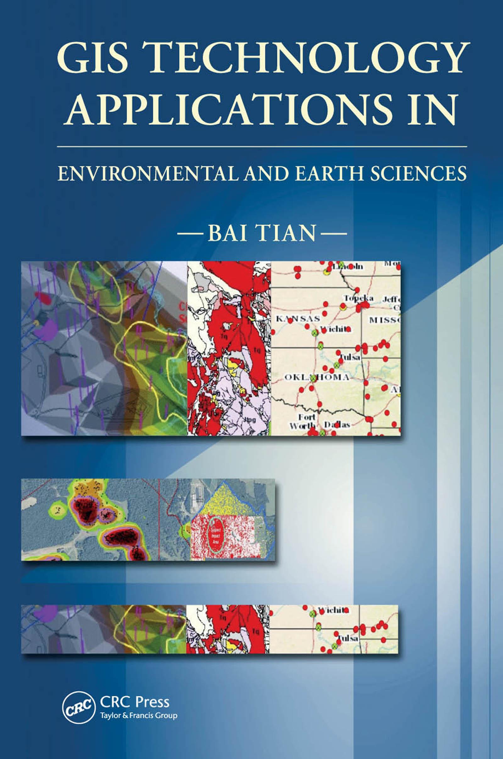
This book starts with an overview of GIS technology, what GIS technology is, what it can do, what software products are available, etc. Then, throughout the book, the author explains with many case studies, programs, maps, graphics, and 3D models how GIS and other related technologies can be used to automate mapping processes, collect, process, edit, store, manage, and share datasets, statistically analyze data, model, and visualize large datasets to understand patterns, trends, and relationships to make educated decisions. This book is an excellent resource for anyone who is interested in GIS and related technologies, geology, natural resource, and environmental science.
Płać wygodnie kartą, Klarną, Apple Pay lub Google Pay. Nie jesteś zadowolony? Zawsze masz 14-dniową gwarancję zwrotu pieniędzy. Więcej przeczytasz w naszych warunkach. Masz pytania? Napisz do nas na hello@memmo.org.
Memmo ułatwia naukę – gdziekolwiek jesteś na świecie. U nas znajdziesz podręczniki i sprytne narzędzia do nauki w jednym miejscu: streszczenia, quizy, podcasty i fiszki. A do tego Ted, Twój kumpel do nauki, który odpowie na wszystko, co Cię nurtuje. Ponad 50 000 studentów już tu się uczy – stworzone, byś uczył się szybciej i mniej stresował.