
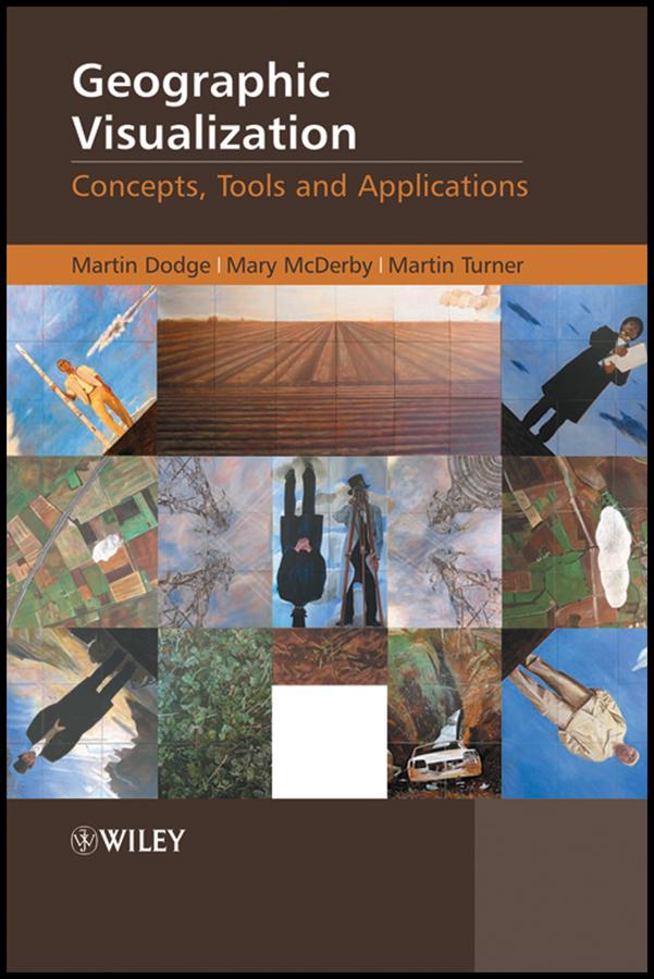
Geographic Visualization: Concepts, Tools and Applications is a 'state-of-the-art' review of the latest developments in the subject. It examines how new concepts, methods and tools can be creatively applied to solve problems relevant to a wide range of topics. The text covers the impact of three-dimensional displays on user interaction along with the potentialities in animation and clearly explains how to create temporally sensitive visualizations. It also explores the potential for handling mobile data and representing uncertainty; as well as the role of participatory visualization systems and exploratory methods.
Hallmark Features:
- An introduction to the diverse forms of geographic visualization which draws upon a number of theoretical perspectives and disciplines to provide an insightful commentary on new methods, techniques and tools.
- Richly illustrated in full colour throughout, including numerous relevant case studies and accessible discussions of important visualization concepts to enable clearer understanding for non-technical audiences.
- Chapters are written by leading scholars and researchers in a range of cognate fields, including, cartography, GIScience, architecture, art, urban planning and computer graphics with case studies drawn from Europe, North America and Australia
This book is an invaluable resource for all graduate students, researchers and professionals working in the geographic information sector, computer graphics and cartography.
Płać wygodnie kartą, Klarną, Apple Pay lub Google Pay. Nie jesteś zadowolony? Zawsze masz 14-dniową gwarancję zwrotu pieniędzy. Więcej przeczytasz w naszych warunkach. Masz pytania? Napisz do nas na hello@memmo.org.
Memmo ułatwia naukę – gdziekolwiek jesteś na świecie. U nas znajdziesz podręczniki i sprytne narzędzia do nauki w jednym miejscu: streszczenia, quizy, podcasty i fiszki. A do tego Ted, Twój kumpel do nauki, który odpowie na wszystko, co Cię nurtuje. Ponad 50 000 studentów już tu się uczy – stworzone, byś uczył się szybciej i mniej stresował.