
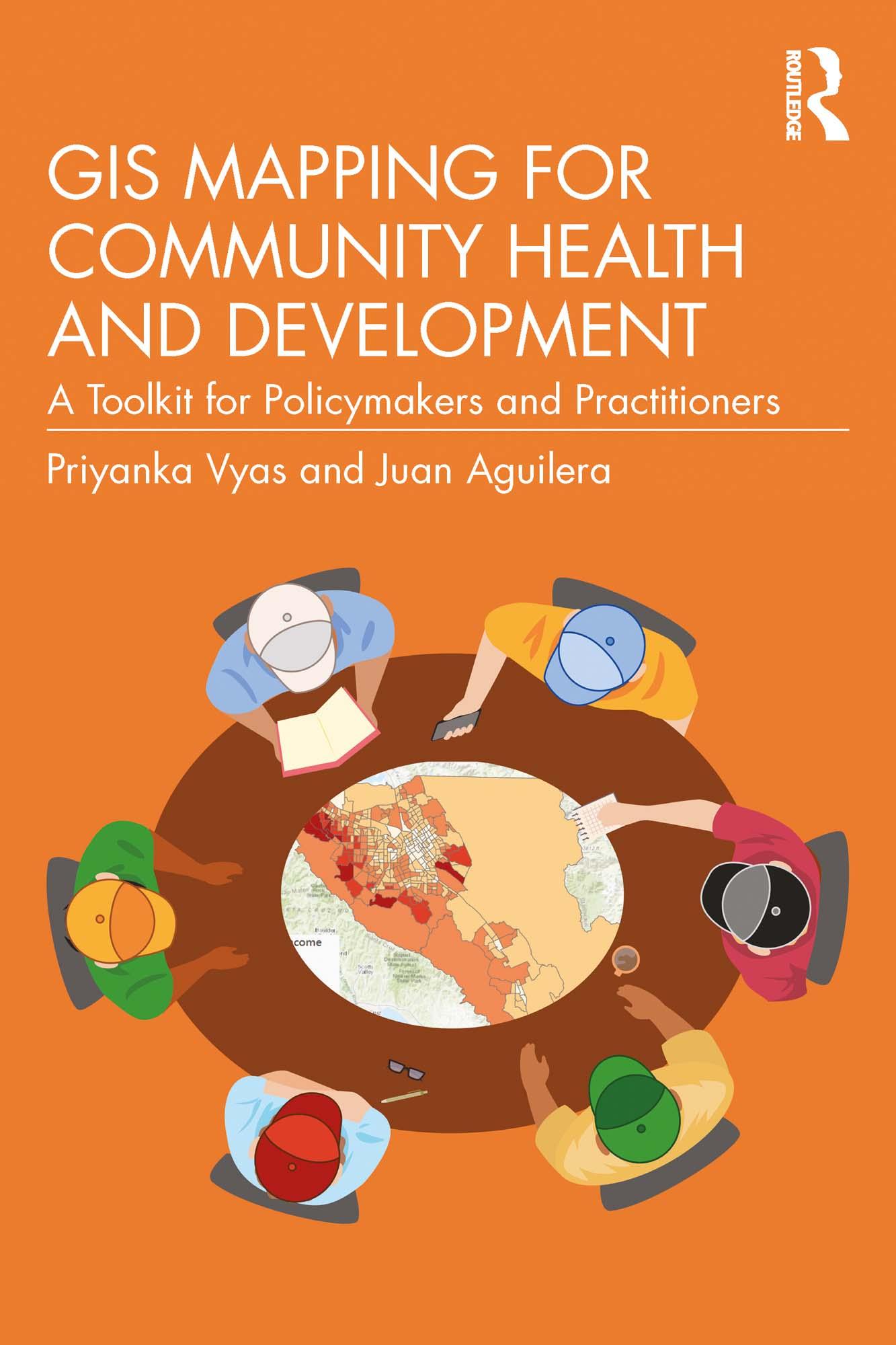
This book explores how maps generated through Geographic Information Systems (GIS) can be used to integrate principles of health equity and environmental justice into community planning and decision-making.
To do this, the book puts forward the 3Ps of GIS mapping: People, Place, and Policy. This book demonstrates how different maps reveal different spatial disparities for each topic, providing alternative lens for addressing socio‑cultural, political, or geographical issues. Using a step-by-step approach, and covering the core concepts by which GIS maps can be interpreted, it builds to provide a comprehensive understanding of what a GIS-generated map may tell us, though crucially also what it may not. Featuring illustrated examples throughout, this book is essentially a tool kit to support a nuanced and holistic perspective on community planning.
It will appeal to policymakers, planners, and public health consultants, as well as students moving toward this field.
Płać wygodnie kartą, Klarną, Apple Pay lub Google Pay. Nie jesteś zadowolony? Zawsze masz 14-dniową gwarancję zwrotu pieniędzy. Więcej przeczytasz w naszych warunkach. Masz pytania? Napisz do nas na hello@memmo.org.
Memmo ułatwia naukę – gdziekolwiek jesteś na świecie. U nas znajdziesz podręczniki i sprytne narzędzia do nauki w jednym miejscu: streszczenia, quizy, podcasty i fiszki. A do tego Ted, Twój kumpel do nauki, który odpowie na wszystko, co Cię nurtuje. Ponad 50 000 studentów już tu się uczy – stworzone, byś uczył się szybciej i mniej stresował.