
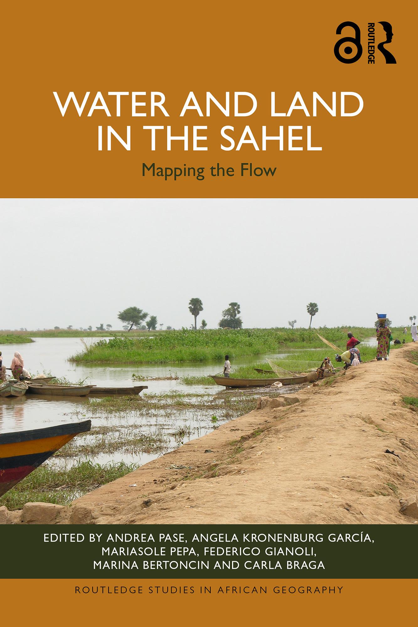
Drawing on over thirty years of research, this book investigates the intermingling of land and water in the Sahel, analysing landscapes defined by the ebb and flow of rainfall, flooding and population movements, as well as environmental, political and social crises.
Exploring both the seasonal flooding of rivers around the Nile, Chari-Logone, Niger and Senegal, as well as agricultural irrigation projects such as dams, canals and pumping stations, the book examines the different narratives related to water and land in the Sahel. It combines fieldwork research with remote sensing, big data and GIS mapping to outline the ever-changing interplay between land and water in the region. Beyond this, the book also reinterprets the colonial and post-colonial legacies of large-scale irrigation projects and the geopolitical interests which defined them.
Supported by an Open Access website with a WebGIS and further maps and analysis, this book is an essential read for policy makers and development practitioners in the region, as well as for researchers and scholars across the fields of geography, history, political science, sustainable development and African studies.
The Open Access version of this book, available at www.taylorfrancis.com, has been made available under a Creative Commons Attribution-No Derivatives (CC-BY-ND) 4.0 license.
Płać wygodnie kartą, Klarną, Apple Pay lub Google Pay. Nie jesteś zadowolony? Zawsze masz 14-dniową gwarancję zwrotu pieniędzy. Więcej przeczytasz w naszych warunkach. Masz pytania? Napisz do nas na hello@memmo.org.
Memmo ułatwia naukę – gdziekolwiek jesteś na świecie. U nas znajdziesz podręczniki i sprytne narzędzia do nauki w jednym miejscu: streszczenia, quizy, podcasty i fiszki. A do tego Ted, Twój kumpel do nauki, który odpowie na wszystko, co Cię nurtuje. Ponad 50 000 studentów już tu się uczy – stworzone, byś uczył się szybciej i mniej stresował.