
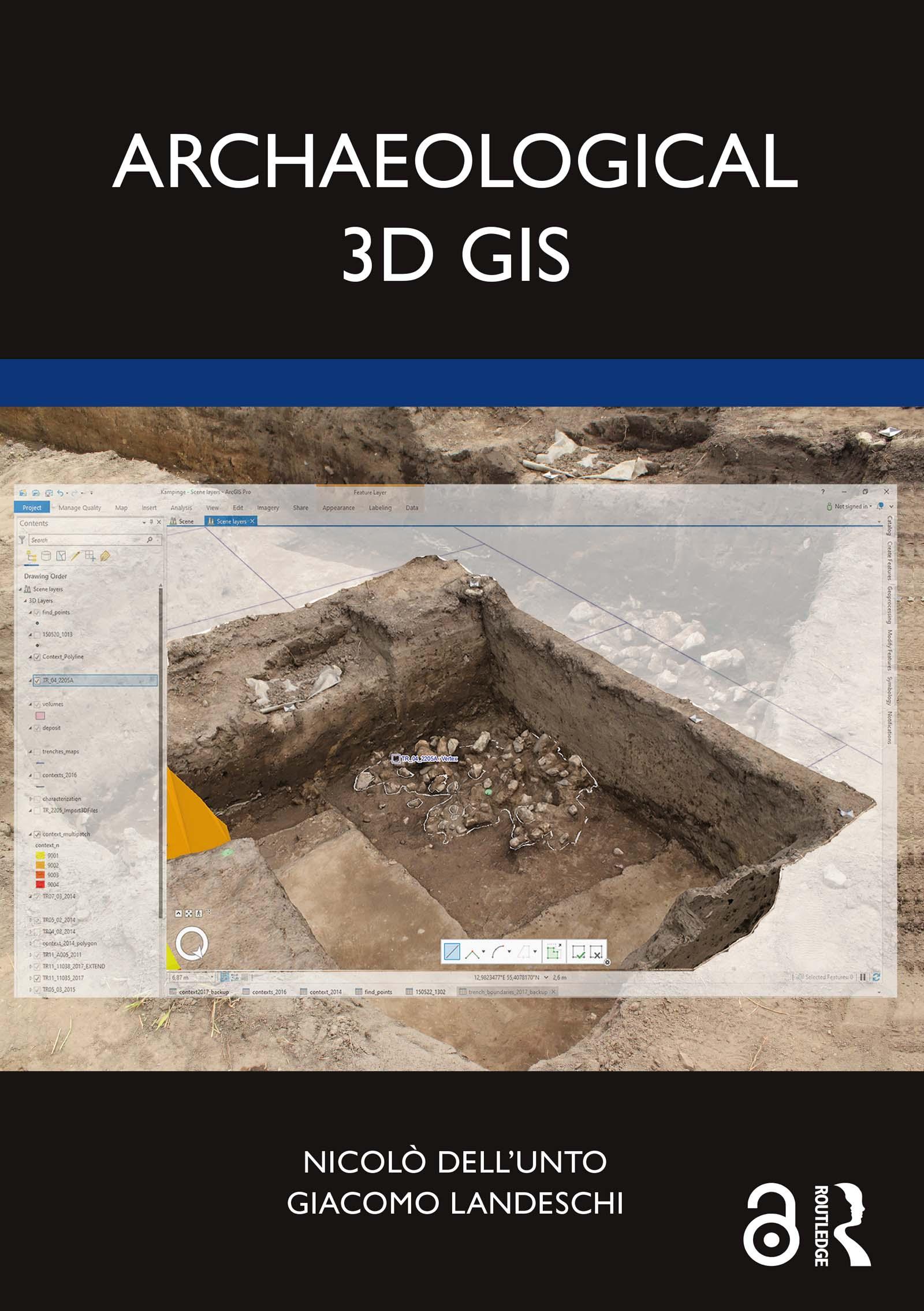
Archaeological 3D GIS provides archaeologists with a guide to explore and understand the unprecedented opportunities for collecting, visualising, and analysing archaeological datasets in three dimensions.
With platforms allowing archaeologists to link, query, and analyse in a virtual, georeferenced space information collected by different specialists, the book highlights how it is possible to re-think aspects of theory and practice which relate to GIS. It explores which questions can be addressed in such a new environment and how they are going to impact the way we interpret the past. By using material from several international case studies such as Pompeii, Çatalhöyük, as well as prehistoric and protohistoric sites in Southern Scandinavia, this book discusses the use of the third dimension in support of archaeological practice.
This book will be essential for researchers and scholars who focus on archaeology and spatial analysis, and is designed and structured to serve as a textbook for GIS and digital archaeology courses.
The Open Access version of this book, available at www.taylorfrancis.com, has been made available under a Creative Commons Attribution-Non Commercial-No Derivatives 4.0 license.
Płać wygodnie kartą, Klarną, Apple Pay lub Google Pay. Nie jesteś zadowolony? Zawsze masz 14-dniową gwarancję zwrotu pieniędzy. Więcej przeczytasz w naszych warunkach. Masz pytania? Napisz do nas na hello@memmo.org.
Memmo ułatwia naukę – gdziekolwiek jesteś na świecie. U nas znajdziesz podręczniki i sprytne narzędzia do nauki w jednym miejscu: streszczenia, quizy, podcasty i fiszki. A do tego Ted, Twój kumpel do nauki, który odpowie na wszystko, co Cię nurtuje. Ponad 50 000 studentów już tu się uczy – stworzone, byś uczył się szybciej i mniej stresował.