
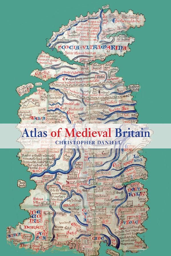
Christopher Daniell's Atlas of Medieval Britain presents a sweeping visual survey of Britain from the Roman occupation to 1485.
Annotated throughout with clear commentary, this volume tells the story of the British Isles, and makes visually accessible the varied and often complex world of the Middle Ages. The Atlas depicts the spatial distribution of key events and buildings between 1066 and 1485, as well as providing the relevant Anglo-Saxon background. Charting the main political, administrative and religious features of medieval society, the maps also locate cultural landmarks such as the sites of mystery plays, universities and specific architectural styles.
Topics covered include:
- Iron Age and Roman occupation
- Anglo-Saxons and Vikings
- changing political scenarios within England, Scotland, Wales and Ireland
- religious framework, including diocesan boundaries, monasteries and friaries
- government, society and economy.
Complete with recommended further reading, this volume is an indispensable reference resource for all students of medieval British history.
Płać wygodnie kartą, Klarną, Apple Pay lub Google Pay. Nie jesteś zadowolony? Zawsze masz 14-dniową gwarancję zwrotu pieniędzy. Więcej przeczytasz w naszych warunkach. Masz pytania? Napisz do nas na hello@memmo.org.
Memmo ułatwia naukę – gdziekolwiek jesteś na świecie. U nas znajdziesz podręczniki i sprytne narzędzia do nauki w jednym miejscu: streszczenia, quizy, podcasty i fiszki. A do tego Ted, Twój kumpel do nauki, który odpowie na wszystko, co Cię nurtuje. Ponad 50 000 studentów już tu się uczy – stworzone, byś uczył się szybciej i mniej stresował.