
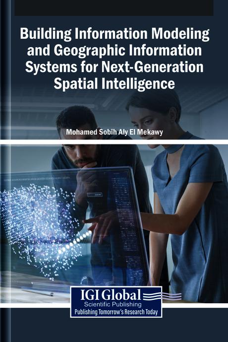
The integration of building information modeling (BIM) and geographic information systems (GIS) develops innovative spatial intelligence. BIM provides detailed representations of built environments, while GIS captures the geographical and environmental context in which these structures exist. When combined, these systems enable a seamless flow of spatial information, from individual buildings to entire cities, enhancing decision-making in urban planning, infrastructure management, and sustainable development. This convergence fosters a more holistic understanding of spatial relationships, supporting smarter, data-driven approaches to design, construction, and governance in an interconnected world. Building Information Modeling and Geographic Information Systems for Next-Generation Spatial Intelligence explores the convergence of BIM and GIS in the field of urban planning. It examines how the integration of these tools revolutionizes the design, analysis, and management of urban environments for smarter, more sustainable cities. This book covers topics such as data science, civil engineering, and environmental science, and is a useful resource for engineers, policymakers, academicians, researchers, and scientists.
Sider: 294
Kategori: Arkitektur & Stadsplanering
e-ISBN: 9798337340616
Fraktvekt: 1.2 kg
Sendes innen: 1-2 dager
Betal enkelt med kort, Klarna, Apple Pay eller Google Pay. Ikke fornøyd? Du har alltid 14 dagers angrerett. Les mer i våre vilkår. Har du spørsmål, send oss en e-post på hello@memmo.org.
Memmo gjør det enklere å studere – uansett hvor du er i verden. Hos oss samler du pensumbøker og smarte studieverktøy på ett og samme sted: sammendrag, quizer, podkaster og flashcards. Og så Ted, din studiekompis som svarer på alt du lurer på. Over 50 000 studenter studerer allerede her – bygget for at du skal lære raskere og stresse mindre.
Du vil kanskje også like
Kjøp boken0