
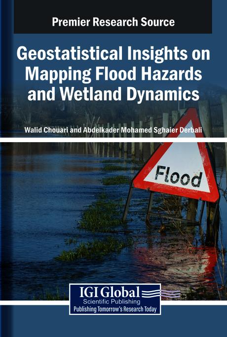
Understanding and mitigating the impacts of flood hazards and wetland changes requires precise, data-driven approaches, making geostatistics a critical tool in environmental analysis. By applying spatial statistical techniques to hydrological, topographical, and climatic datasets, researchers can generate detailed, high-resolution maps that identify flood-prone areas and monitor wetland dynamics. This information enhances predictive modeling of flood events and supports sustainable land-use planning and ecosystem conservation. As climate change increases the frequency and intensity of extreme weather, geostatistical methods may help better assess vulnerability, inform policy, and guide adaptive strategies for at-risk communities and habitats. Geostatistical Insights on Mapping Flood Hazards and Wetland Dynamics examines the use of geostatistics in flood risk mitigation techniques. It explores how various intelligent technologies assist in geographical mapping for areas affected by shifting climates and hazardous weather patterns. This book covers topics such as geomorphology, risk mitigation, and climatology, and is a useful resource for engineers, climatologists, geologists, conservationists, academicians, researchers, and environmental scientists.
Sider: 322
Kategori: Miljövetenskap & Klimat
e-ISBN: 9798337332093
Fraktvekt: 1.2 kg
Sendes innen: 1-2 dager
Betal enkelt med kort, Klarna, Apple Pay eller Google Pay. Ikke fornøyd? Du har alltid 14 dagers angrerett. Les mer i våre vilkår. Har du spørsmål, send oss en e-post på hello@memmo.org.
Memmo gjør det enklere å studere – uansett hvor du er i verden. Hos oss samler du pensumbøker og smarte studieverktøy på ett og samme sted: sammendrag, quizer, podkaster og flashcards. Og så Ted, din studiekompis som svarer på alt du lurer på. Over 50 000 studenter studerer allerede her – bygget for at du skal lære raskere og stresse mindre.
Du vil kanskje også like
Kjøp boken0