
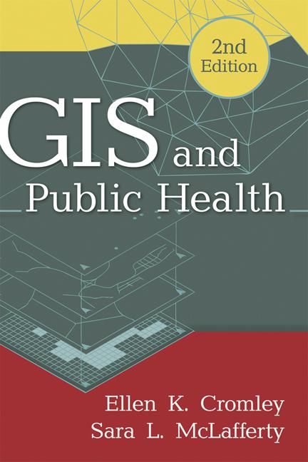
Authoritative and comprehensive, this is the leading text and professional resource on using geographic information systems (GIS) to analyze and address public health problems. Basic GIS concepts and tools are explained, including ways to access and manage spatial databases. The book presents state-of-the-art methods for mapping and analyzing data on population, health events, risk factors, and health services, and for incorporating geographical knowledge into planning and policy. Numerous maps, diagrams, and real-world applications are featured. The companion Web page provides lab exercises with data that can be downloaded for individual or course use.
New to This Edition
*Incorporates major technological advances, such as Internet-based mapping systems and the rise of data from cell phones and other GPS-enabled devices.
*Chapter on health disparities.
*Expanded coverage of public participation GIS.
*Companion Web page has all-new content.
*Goes beyond the United States to encompass an international focus.
Betal enkelt med kort, Klarna, Apple Pay eller Google Pay. Ikke fornøyd? Du har alltid 14 dagers angrerett. Les mer i våre vilkår. Har du spørsmål, send oss en e-post på hello@memmo.org.
Memmo gjør det enklere å studere – uansett hvor du er i verden. Hos oss samler du pensumbøker og smarte studieverktøy på ett og samme sted: sammendrag, quizer, podkaster og flashcards. Og så Ted, din studiekompis som svarer på alt du lurer på. Over 50 000 studenter studerer allerede her – bygget for at du skal lære raskere og stresse mindre.
Du vil kanskje også like
Kjøp boken0