
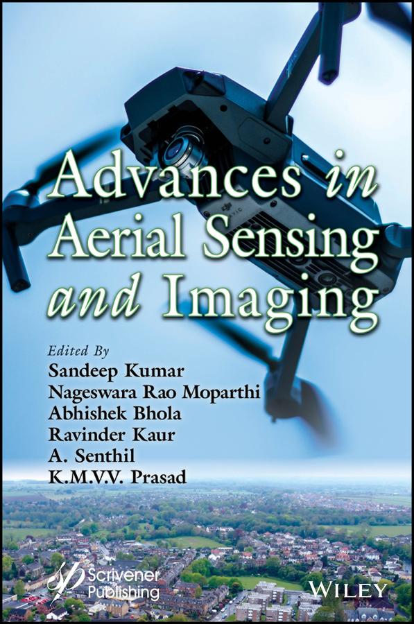
This groundbreaking book is a comprehensive guide to the technology found in the complex field of aerial sensing and imaging, and the real-world challenges that stem from its growing significance and demand.
The advent of unmanned aerial vehicles (UAVs), or drones, along with advancements in sensor technology and image processing techniques, has further enhanced the capabilities and applications of aerial sensing and imaging. These developments have opened up new research, innovation, and exploration avenues.
Aerial sensing and imaging have rapidly evolved over the past few decades and have revolutionized several fields, including land cover and usage prediction, crop and livestock management, road accident monitoring, poverty estimation, defense, agriculture, forest fire detection, UAV security issues, and open parking management. This book provides a comprehensive understanding and knowledge of the underlying technology and its practical applications in different domains.
Audience
Computer science and artificial intelligence researchers working in the fields of aerial sensing and imaging, as well as professionals working in industries such as agriculture, geology, surveying, urban planning, disaster response, etc; this book provides them with practical guidance and instruction on how to apply aerial sensing and imaging for various purposes and stay up-to-date with the latest developments in the domain.
Betal enkelt med kort, Klarna, Apple Pay eller Google Pay. Ikke fornøyd? Du har alltid 14 dagers angrerett. Les mer i våre vilkår. Har du spørsmål, send oss en e-post på hello@memmo.org.
Memmo gjør det enklere å studere – uansett hvor du er i verden. Hos oss samler du pensumbøker og smarte studieverktøy på ett og samme sted: sammendrag, quizer, podkaster og flashcards. Og så Ted, din studiekompis som svarer på alt du lurer på. Over 50 000 studenter studerer allerede her – bygget for at du skal lære raskere og stresse mindre.