
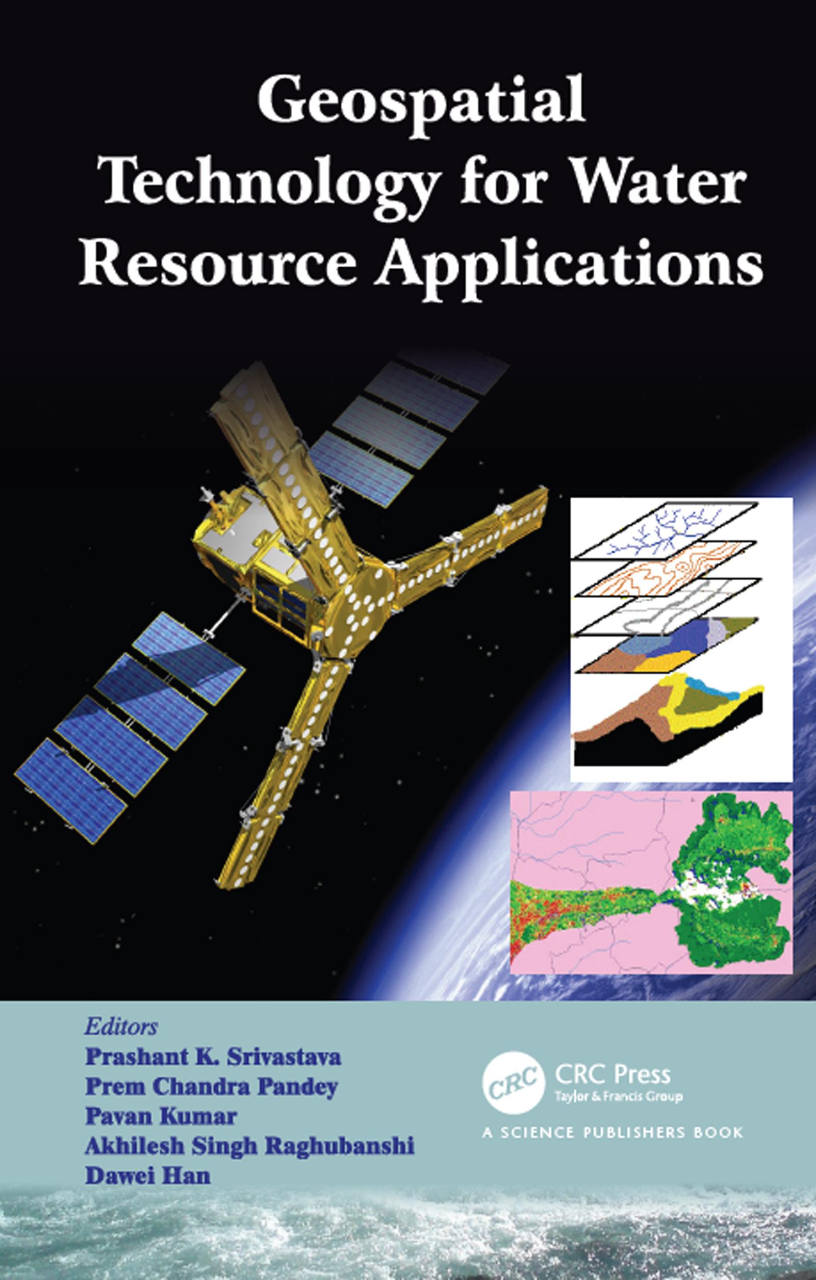
This book advances the scientific understanding, development, and application of geospatial technologies related to water resource management. It presents recent developments and applications specifically by utilizing new earth observation datasets such as TRMM/GPM, AMSR E/2, SMOS, SMAP and GCOM in combination with GIS, artificial intelligence, and hybrid techniques. By linking geospatial techniques with new satellite missions for earth and environmental science, the book promotes the synergistic and multidisciplinary activities of scientists and users working in the field of hydrological sciences.
Betal enkelt med kort, Klarna, Apple Pay eller Google Pay. Ikke fornøyd? Du har alltid 14 dagers angrerett. Les mer i våre vilkår. Har du spørsmål, send oss en e-post på hello@memmo.org.
Memmo gjør det enklere å studere – uansett hvor du er i verden. Hos oss samler du pensumbøker og smarte studieverktøy på ett og samme sted: sammendrag, quizer, podkaster og flashcards. Og så Ted, din studiekompis som svarer på alt du lurer på. Over 50 000 studenter studerer allerede her – bygget for at du skal lære raskere og stresse mindre.