
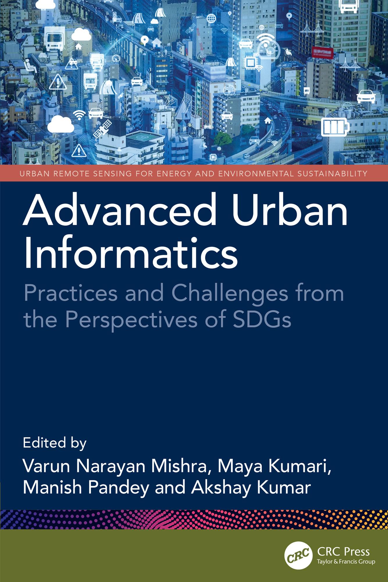
Urban informatics is an interdisciplinary approach to understanding, managing, and designing cities using methods based on advanced geospatial methods, computer-based information technologies and other emerging tools. This book provides understanding of developments in geospatial and computational techniques, focusing on the growth/pattern of cities and its implications for the development of smart and sustainable cities from the perspectives of Sustainable Development Goals (SDGs). It covers sustainable development, land use patterns, urban growth analysis, environmental impacts, infrastructure management, and policy. The book focuses on interdisciplinary approach using geospatial data, geographic information systems (GIS), and advanced computational methods to address the challenges in urban informatics.
- Addresses the problems in implementing smart city initiatives, designing more adaptive, responsive, and resilient cities
- Offers insightful dimensions to better understand the spatial urban pattern and future projection of for suitable planning and management
- Discusses theoretical and applied research practices along with background information on the use of advanced technologies in the domain of urban studies
- Includes practical examples, case studies, and methodologies
This book is aimed at graduate students and researchers in environmental engineering and remote sensing.
Betal enkelt med kort, Klarna, Apple Pay eller Google Pay. Ikke fornøyd? Du har alltid 14 dagers angrerett. Les mer i våre vilkår. Har du spørsmål, send oss en e-post på hello@memmo.org.
Memmo gjør det enklere å studere – uansett hvor du er i verden. Hos oss samler du pensumbøker og smarte studieverktøy på ett og samme sted: sammendrag, quizer, podkaster og flashcards. Og så Ted, din studiekompis som svarer på alt du lurer på. Over 50 000 studenter studerer allerede her – bygget for at du skal lære raskere og stresse mindre.