
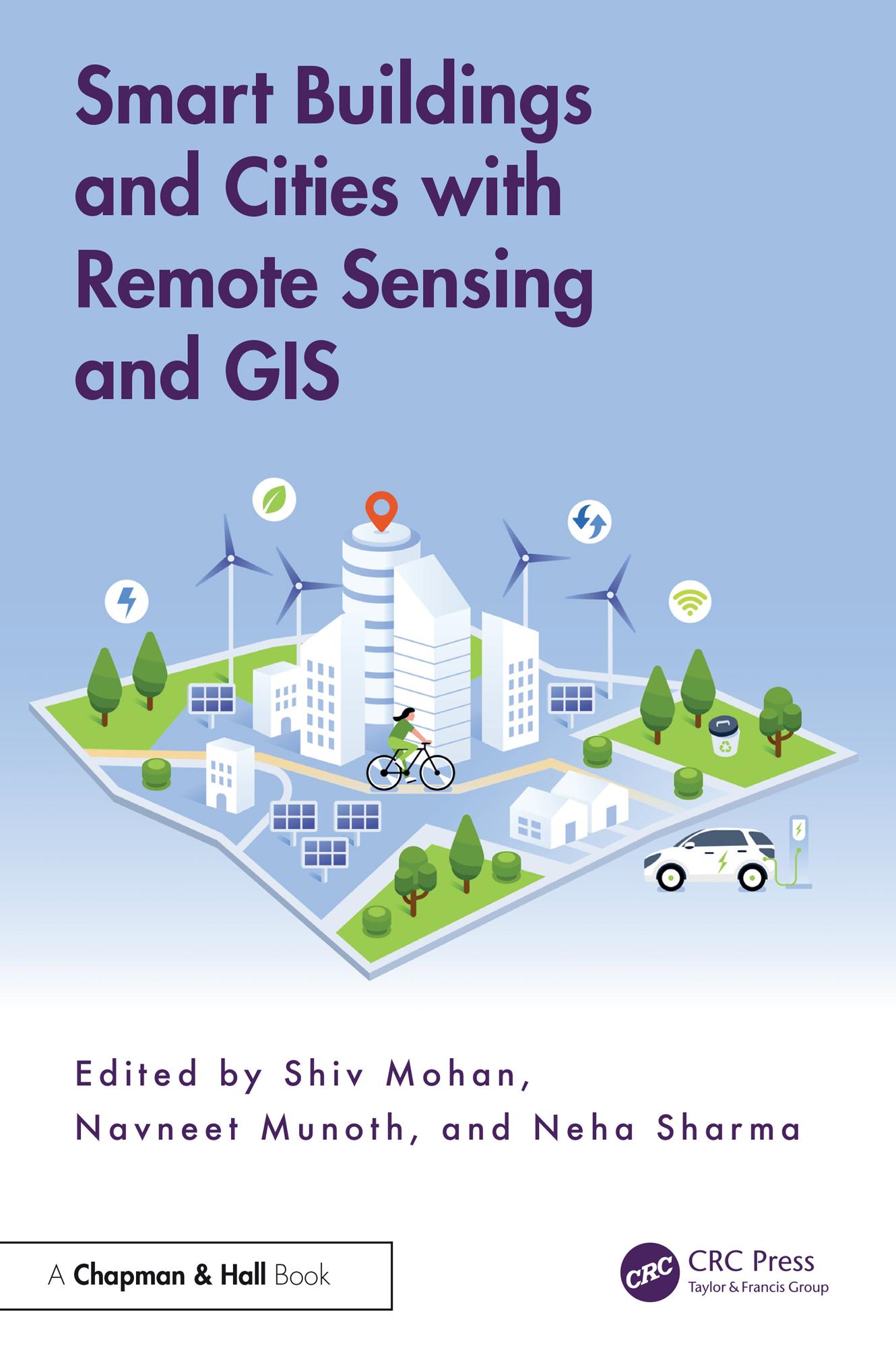
The built environment is undergoing a profound transformation driven by the integration of cutting-edge geospatial technologies. Smart Buildings and Cities with Remote Sensing and GIS serves as a comprehensive guide to navigating this transformation and bridges the gap between traditional architectural and planning practices and the innovative possibilities of remote sensing (RS) and geographic information systems (GIS).
The book demonstrates how architects, planners, and decisionmakers can use GIS and RS to design smarter, context-aware, and eco-friendly urban spaces. It explores innovative approaches for architecture, focusing on geospatial site analysis, net-zero energy building designs, heritage preservation, innovative virtual campus planning methodologies and even futuristic concepts like habitat design on the lunar surface.
Key features:
• Brings together contemporary geospatial technologies and their applications to address the challenges and opportunities in designing smart buildings and cities.
• Provides actionable solutions for professionals, researchers, and policymakers.
• Includes global contributions that provide diverse perspectives on smart city and building applications.
• Highlights how geospatial data-driven insights can revolutionize decisionmaking processes in urban planning and building design.
The work is designed for postgraduate students and researchers in the departments of architecture, planning, and geomatics, geoinformatics, software engineering.
Betal enkelt med kort, Klarna, Apple Pay eller Google Pay. Ikke fornøyd? Du har alltid 14 dagers angrerett. Les mer i våre vilkår. Har du spørsmål, send oss en e-post på hello@memmo.org.
Memmo gjør det enklere å studere – uansett hvor du er i verden. Hos oss samler du pensumbøker og smarte studieverktøy på ett og samme sted: sammendrag, quizer, podkaster og flashcards. Og så Ted, din studiekompis som svarer på alt du lurer på. Over 50 000 studenter studerer allerede her – bygget for at du skal lære raskere og stresse mindre.