
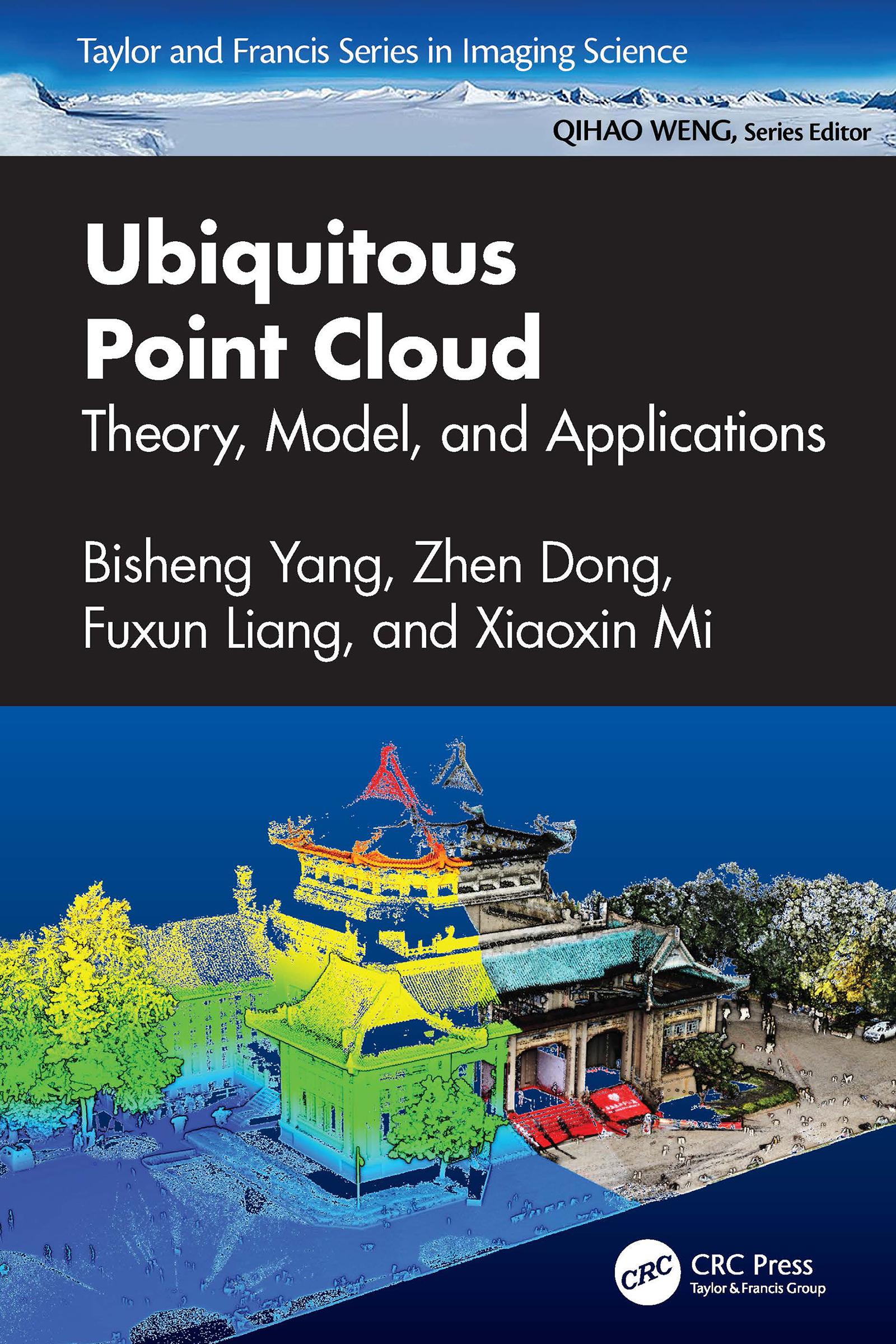
Point clouds from LiDAR and photogrammetry are vital and vast sources of geospatial information besides remote sensing imagery. This book provides the latest theory and methodology for point cloud processing with AI to better serve earth observation, 3D vision, autonomous driving, smart city, and geospatial information applications. It covers various aspects of 3D geospatial information, including data capturing, fusing, geocomputing, modeling, and vast downstream applications. With the inclusion of numerous illustrations, diagrams, and practical applications, readers will better understand the point cloud, and its technical challenges, and learn how to utilize point cloud in different fields.
Features
- Provides in-depth point cloud processing pipeline, cutting-edge theory, and technology with AI.
- Includes many specific applications of point cloud in the geospatial field.
- Offers a comprehensive step-by-step guide from theory to application in point cloud processing.
- Includes ample supplementary materials including datasets, tools, and other online resources.
- Helps readers across many disciplines, from geospatial to engineering, to understand the vast application of point clouds and how to further generate new ideas and innovative thoughts.
This book is an excellent resource for researchers, academics, students, and professionals in a variety of fields including Geomatics, Remote Sensing, Cartography and Geographic Information Systems, Data Science, Geography, Earth Science, and more.
Betal enkelt med kort, Klarna, Apple Pay eller Google Pay. Ikke fornøyd? Du har alltid 14 dagers angrerett. Les mer i våre vilkår. Har du spørsmål, send oss en e-post på hello@memmo.org.
Memmo gjør det enklere å studere – uansett hvor du er i verden. Hos oss samler du pensumbøker og smarte studieverktøy på ett og samme sted: sammendrag, quizer, podkaster og flashcards. Og så Ted, din studiekompis som svarer på alt du lurer på. Over 50 000 studenter studerer allerede her – bygget for at du skal lære raskere og stresse mindre.