
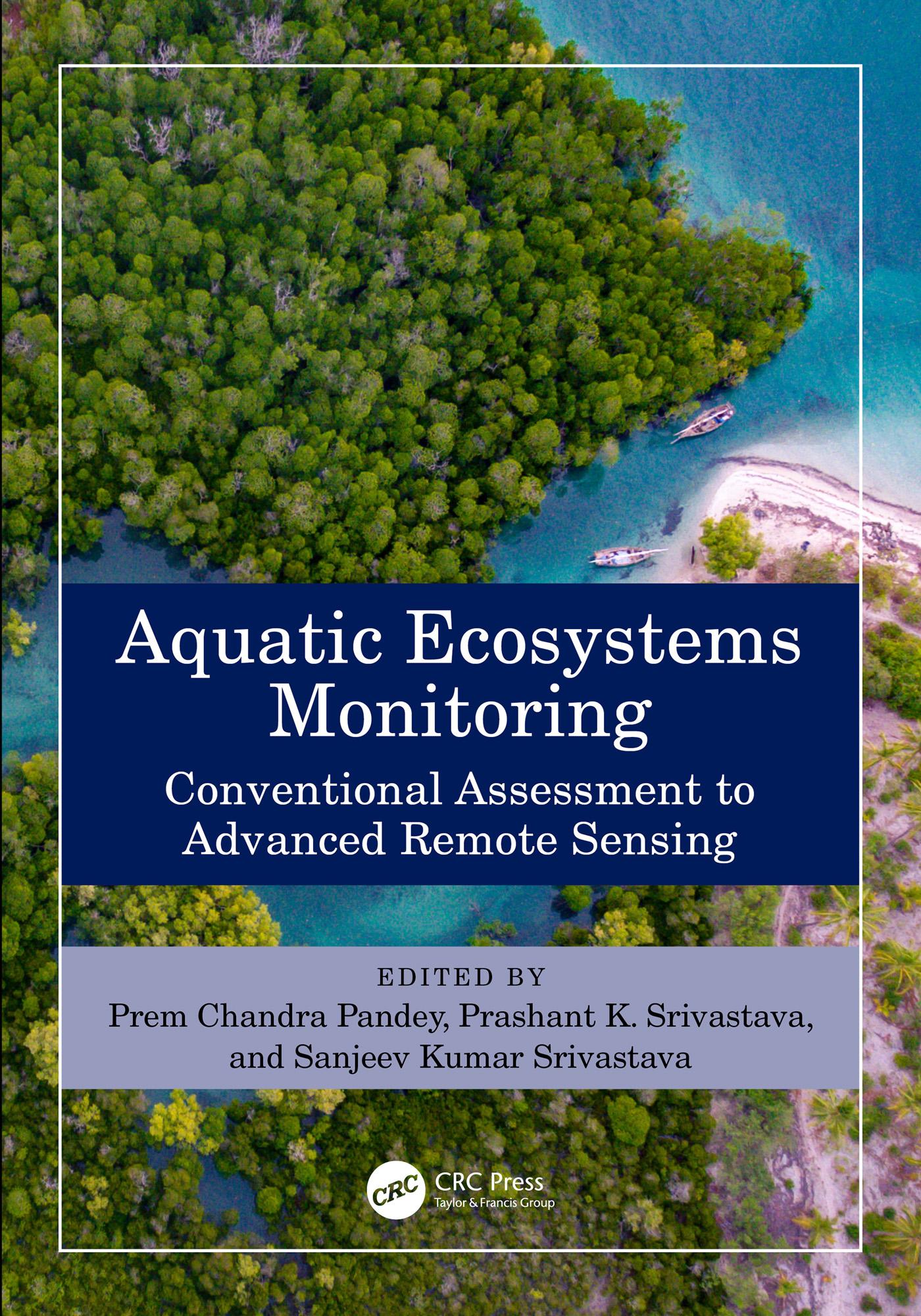
This book collates traditional and modern applications of remote sensing in aquatic ecosystem monitoring. It covers conventional assessment methods like sampling, surveying, macroinvertebrates, and chlorophyll estimation for aquatic ecosystem health assessment. Advanced remote sensing technology provides timely spectral information for quantitative and qualitative assessment of water quality, shoreline changes, coral bleaching, and vegetation monitoring. The book covers different types of aquatic ecosystems like wetlands, rivers, lakes, saline, and the brackish lake. It also:
- Reviews the latest applications of remote sensing in the monitoring and assessment of aquatic ecosystems
- Includes traditional methods like cartography, sampling, surveying, phytoplankton assessment, river interlinking, and chlorophyll estimation
- Discusses the application of multi-source data and machine learning in monitoring aquatic ecosystems
- Discusses aquatic ecosystem management, services, threats, and sustainability
- Explores challenges, opportunities, and prospects of future Earth observation applications for aquatic ecosystem monitoring
The book discusses space-borne, airborne, and drone geospatial data. The parts broadly cover aquatic ecosystem monitoring, vegetation management, advanced modeling practices, and challenges. It is meant for scientists, professionals, and policymakers working in environmental sciences, remote sensing, and geology.
Betal enkelt med kort, Klarna, Apple Pay eller Google Pay. Ikke fornøyd? Du har alltid 14 dagers angrerett. Les mer i våre vilkår. Har du spørsmål, send oss en e-post på hello@memmo.org.
Memmo gjør det enklere å studere – uansett hvor du er i verden. Hos oss samler du pensumbøker og smarte studieverktøy på ett og samme sted: sammendrag, quizer, podkaster og flashcards. Og så Ted, din studiekompis som svarer på alt du lurer på. Over 50 000 studenter studerer allerede her – bygget for at du skal lære raskere og stresse mindre.