
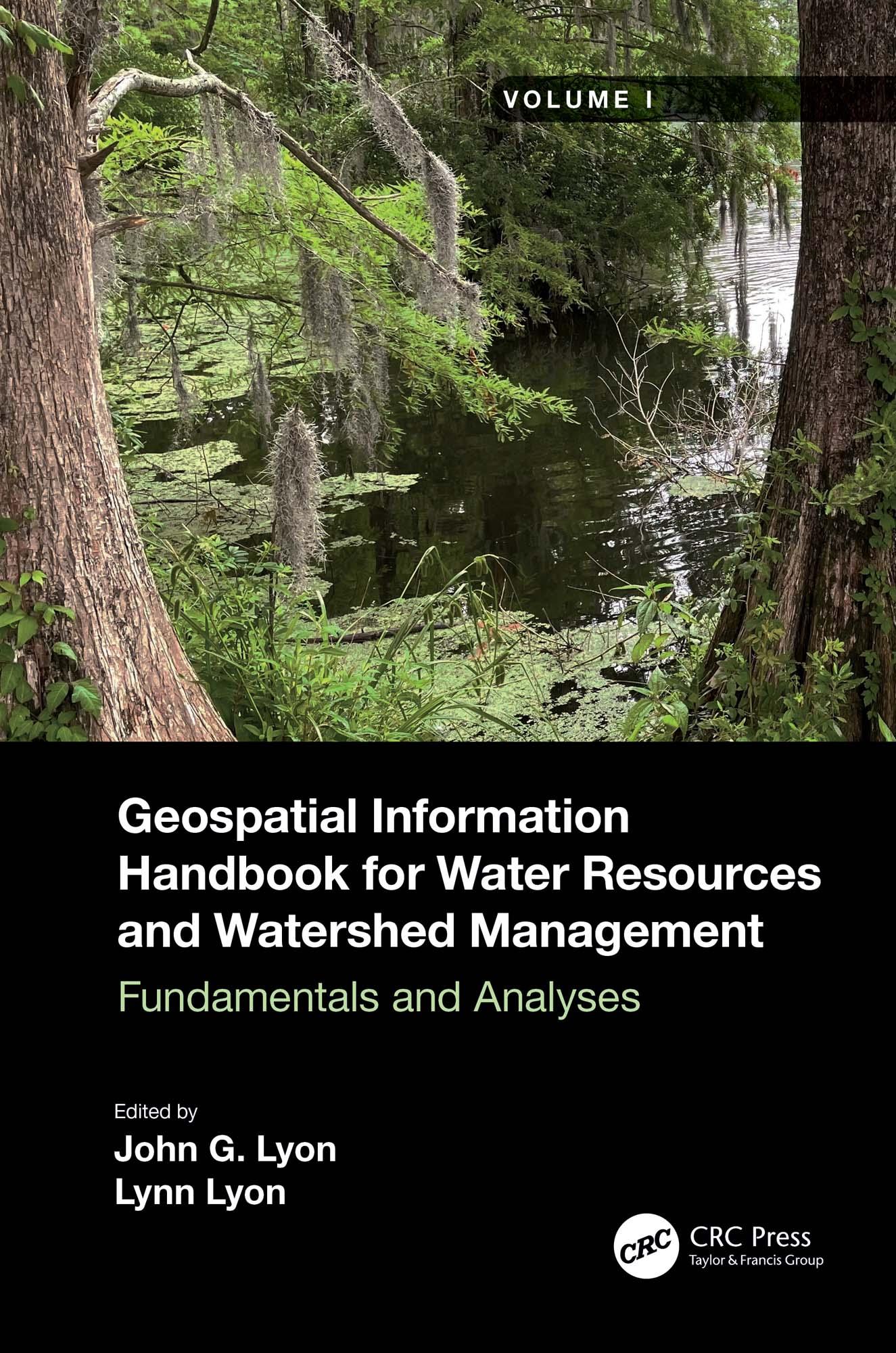
Volume I of Geospatial Information Handbook for Water Resources and Watershed Management discusses fundamental characteristics, measurements, and analyses of water features and watersheds including lakes and reservoirs, rivers and streams, and coasts and estuaries. It presents contemporary knowledge on Geospatial Technology (GT)–supported functional analyses of water runoff, storage and balance, flooding and floodplains, water quality, soils and moisture, climate vulnerabilities, and ecosystem services.
- Captures advanced Geospatial Technologies (GTs) addressing a wide range of water issues
- Provides real-world applications and case studies using advanced spectral and spatial sensors combined with geospatially facilitated water process models
- Details applications of ArcInfo/ArcGIS, Google Earth Engine, and other systems using advanced remote sensors, including hyperspectral ER2 AVIRIS, Sentinel-1 and -2, MODIS, Landsat 7 ETM+, Landsat 8 OLI and TIPS, SAR radar, and thermal imaging
- Global in coverage with applications contributed by more than 170 authors with lifelong expertise in water sciences and engineering
This handbook is a wide-ranging and contemporary reference of advanced geospatial techniques used in numerous practical applications at the local and regional scales and is an in-depth resource for professionals and the water research community worldwide.
Betal enkelt med kort, Klarna, Apple Pay eller Google Pay. Ikke fornøyd? Du har alltid 14 dagers angrerett. Les mer i våre vilkår. Har du spørsmål, send oss en e-post på hello@memmo.org.
Memmo gjør det enklere å studere – uansett hvor du er i verden. Hos oss samler du pensumbøker og smarte studieverktøy på ett og samme sted: sammendrag, quizer, podkaster og flashcards. Og så Ted, din studiekompis som svarer på alt du lurer på. Over 50 000 studenter studerer allerede her – bygget for at du skal lære raskere og stresse mindre.