
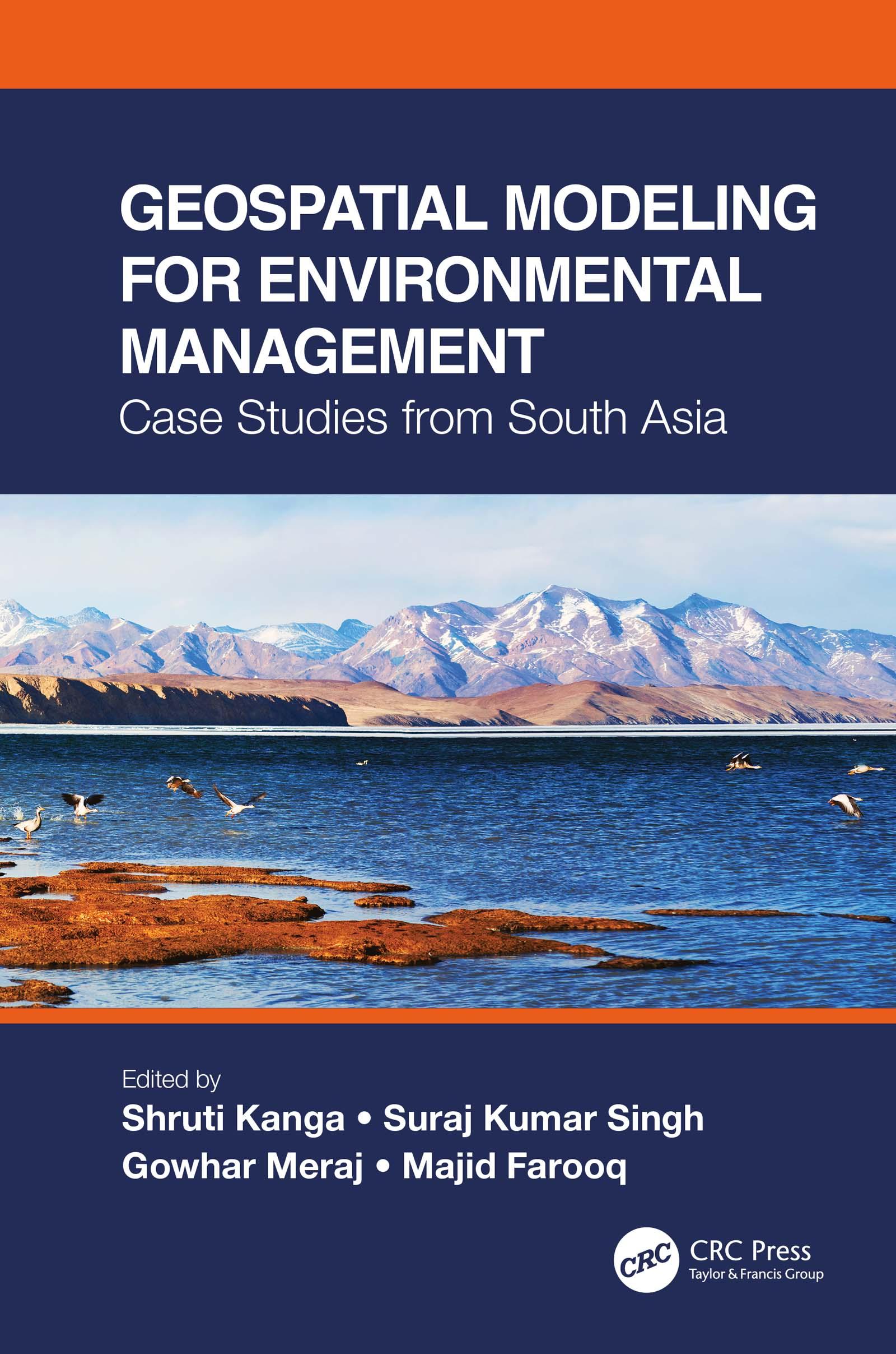
This is a comprehensive resource that integrates the application of innovative remote sensing techniques and geospatial tools in modeling Earth systems for environmental management beyond customary digitization and mapping practices. It identifies the most suitable approaches for a specific environmental problem, emphasizes the importance of physically based modeling, their uncertainty analysis, advantages, and disadvantages. The case studies on the Himalayas with a complex topography call for innovation in geospatial techniques to find solutions for various environmental problems.
Features:
- Presents innovative geospatial methods in environmental modeling of Earth systems.
- Includes case studies from South Asia and discusses different processes and outcomes using spatially explicit models.
- Explains contemporary environmental problems through the analysis of various information layers.
- Provides good practices for developing countries to help manage environmental issues using low-cost geospatial approaches.
- Integrates geospatial modeling with policy and analysis its direct implication in decision making.
Using a systems’ approach analysis, Geospatial Modeling for Environmental Management: Case Studies from South Asia shall serve environmental managers, students, researchers, and policymakers.
Betal enkelt med kort, Klarna, Apple Pay eller Google Pay. Ikke fornøyd? Du har alltid 14 dagers angrerett. Les mer i våre vilkår. Har du spørsmål, send oss en e-post på hello@memmo.org.
Memmo gjør det enklere å studere – uansett hvor du er i verden. Hos oss samler du pensumbøker og smarte studieverktøy på ett og samme sted: sammendrag, quizer, podkaster og flashcards. Og så Ted, din studiekompis som svarer på alt du lurer på. Over 50 000 studenter studerer allerede her – bygget for at du skal lære raskere og stresse mindre.