
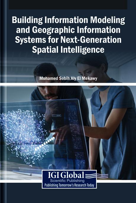
The integration of building information modeling (BIM) and geographic information systems (GIS) develops innovative spatial intelligence. BIM provides detailed representations of built environments, while GIS captures the geographical and environmental context in which these structures exist. When combined, these systems enable a seamless flow of spatial information, from individual buildings to entire cities, enhancing decision-making in urban planning, infrastructure management, and sustainable development. This convergence fosters a more holistic understanding of spatial relationships, supporting smarter, data-driven approaches to design, construction, and governance in an interconnected world. Building Information Modeling and Geographic Information Systems for Next-Generation Spatial Intelligence explores the convergence of BIM and GIS in the field of urban planning. It examines how the integration of these tools revolutionizes the design, analysis, and management of urban environments for smarter, more sustainable cities. This book covers topics such as data science, civil engineering, and environmental science, and is a useful resource for engineers, policymakers, academicians, researchers, and scientists.
Pagina's: 294
Categorie: Arkitektur & Stadsplanering
e-ISBN: 9798337340616
Verzendgewicht: 1.2 kg
Verzending binnen: 1-2 dagen
Betaal eenvoudig met kaart, Klarna, Apple Pay of Google Pay. Niet tevreden? Je hebt altijd 14 dagen bedenktijd. Lees meer in onze voorwaarden. Heb je vragen, mail ons dan via hello@memmo.org.
Memmo maakt studeren makkelijker – waar je ook bent ter wereld. Wij brengen je cursusboeken en slimme studietools samen op één plek: samenvattingen, quizzen, podcasts en flashcards. En Ted, je studievriend die antwoord geeft op alles wat je je afvraagt. Meer dan 50.000 studenten studeren hier al – gebouwd om je sneller te laten leren en minder stress te geven.
Misschien vind je dit ook leuk
Koop het boek0