
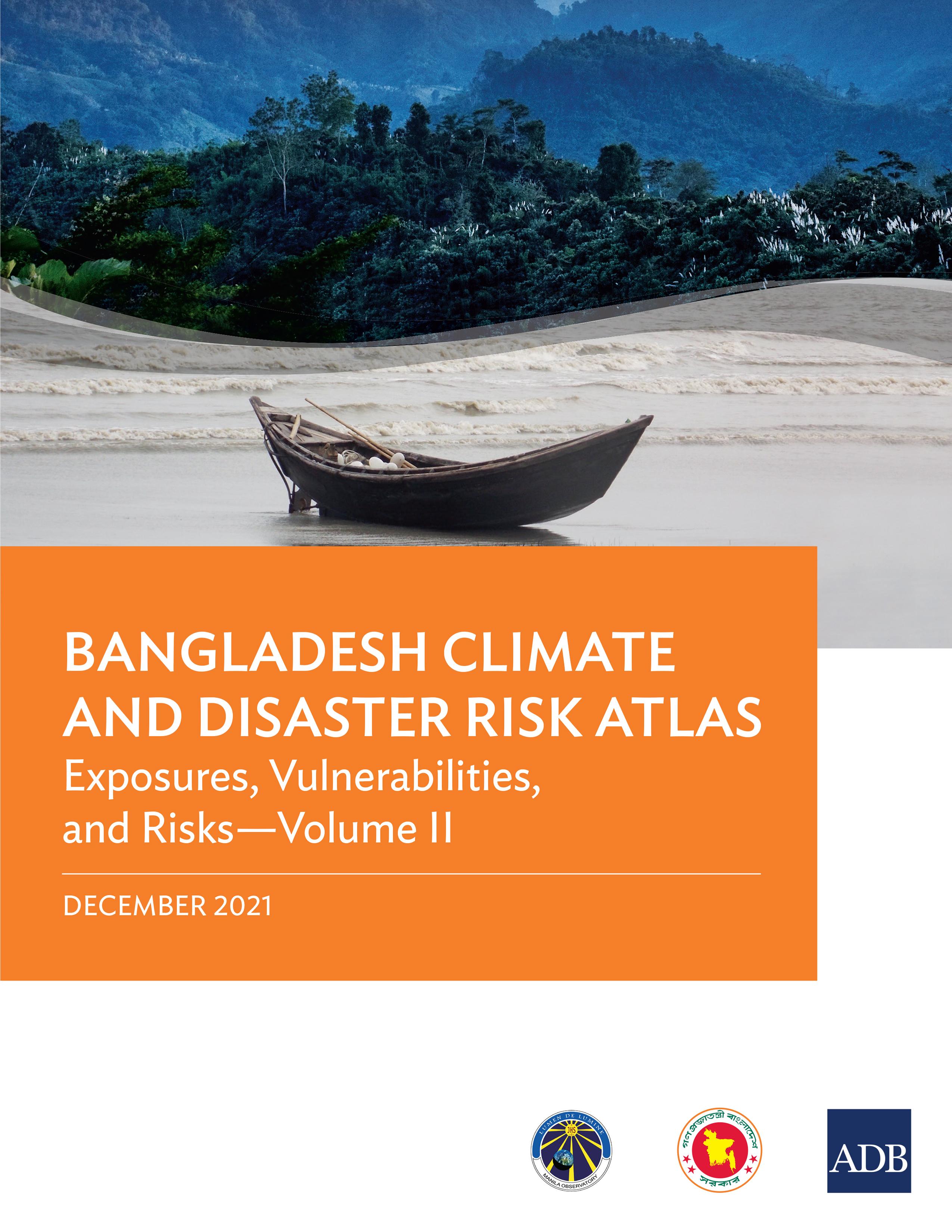
This atlas provides spatial information about Bangladesh and thematic maps necessary for assessing future development investments in the agriculture and water sectors for climate risks and geophysical hazards. It is also intended to support the formulation of co-beneficial options for climate change adaptation and disaster risk reduction and management. The two-volume atlas is a major output of the project Establishing a Climate Risk Screening System for Mainstreaming Climate Change Adaptation into National Development Budgeting Activities in Bangladesh under the Asian Development Bank’s regional knowledge and support (capacity development) technical assistance Action on Climate Change in South Asia (2013–2018). The Bangladesh Climate and Disaster Risk Atlas is composed of Hazards—Volume I and Exposures, Vulnerabilities, and Risks—Volume II.
Betaal eenvoudig met kaart, Klarna, Apple Pay of Google Pay. Niet tevreden? Je hebt altijd 14 dagen bedenktijd. Lees meer in onze voorwaarden. Heb je vragen, mail ons dan via hello@memmo.org.
Memmo maakt studeren makkelijker – waar je ook bent ter wereld. Wij brengen je cursusboeken en slimme studietools samen op één plek: samenvattingen, quizzen, podcasts en flashcards. En Ted, je studievriend die antwoord geeft op alles wat je je afvraagt. Meer dan 50.000 studenten studeren hier al – gebouwd om je sneller te laten leren en minder stress te geven.
Misschien vind je dit ook leuk
Koop het boek0