
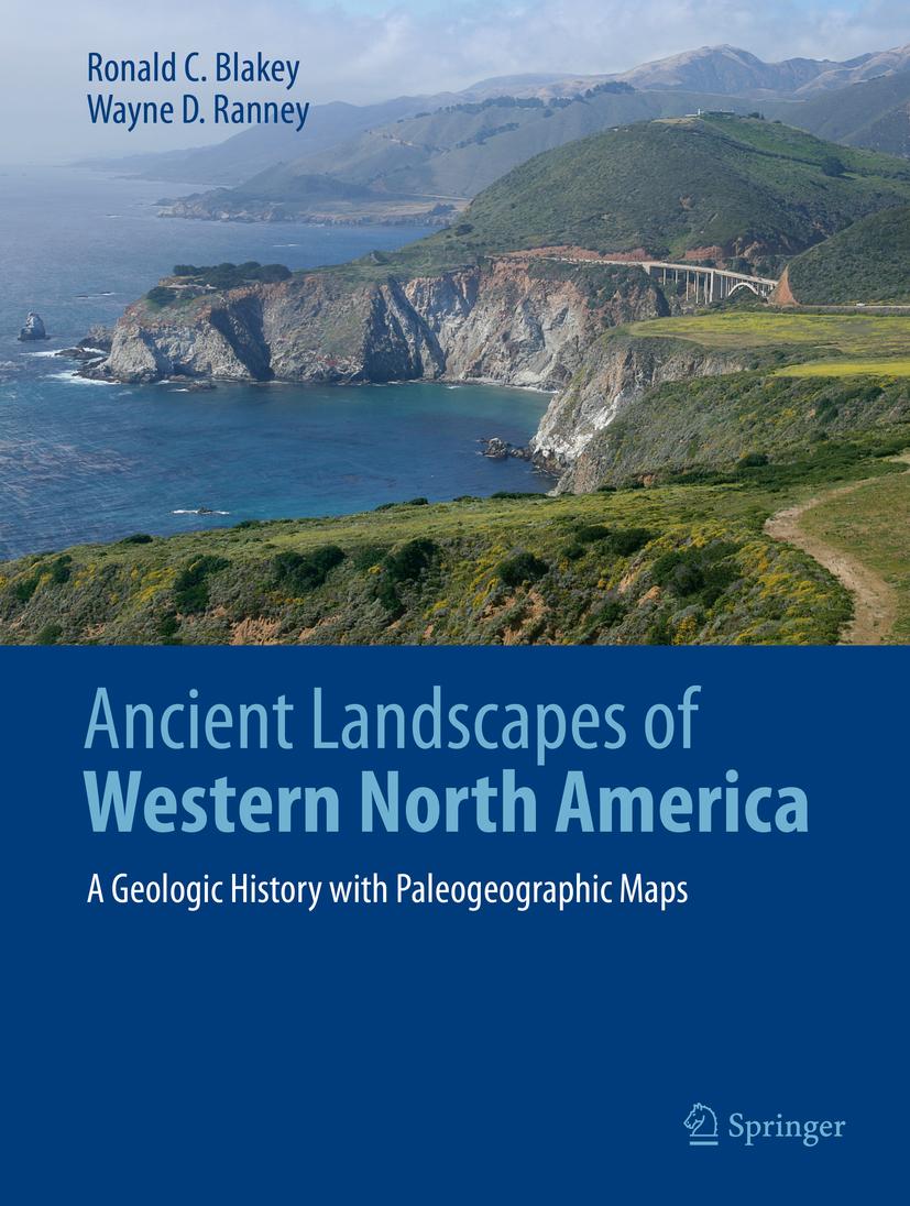
Allow yourself to be taken back into deep geologic time when strange creatures roamed the Earth and Western North America looked completely unlike the modern landscape. Volcanic islands stretched from Mexico to Alaska, most of the Pacific Rim didn’t exist yet, at least not as widespread dry land; terranes drifted from across the Pacific to dock on Western Americas’ shores creating mountains and more volcanic activity. Landscapes were transposed north or south by thousands of kilometers along huge fault systems. Follow these events through paleogeographic maps that look like satellite views of ancient Earth. Accompanying text takes the reader into the science behind these maps and the geologic history that they portray. The maps and text unfold the complex geologic history of the region as never seen before.
Winner of the 2021 John D. Haun Landmark Publication Award, AAPG-Rocky Mountain Section
Betaal eenvoudig met kaart, Klarna, Apple Pay of Google Pay. Niet tevreden? Je hebt altijd 14 dagen bedenktijd. Lees meer in onze voorwaarden. Heb je vragen, mail ons dan via hello@memmo.org.
Memmo maakt studeren makkelijker – waar je ook bent ter wereld. Wij brengen je cursusboeken en slimme studietools samen op één plek: samenvattingen, quizzen, podcasts en flashcards. En Ted, je studievriend die antwoord geeft op alles wat je je afvraagt. Meer dan 50.000 studenten studeren hier al – gebouwd om je sneller te laten leren en minder stress te geven.