
“GeoAI—the integration of spatial analysis, AI, and big data—is creating new insights that promise to transform our understanding of the world.”
Jack Dangermond, president of Esri
Discover how organizations are powering greater automation, prediction, and optimization with GeoAI.
Organizations across the globe have long relied on geographic information system (GIS) technology to manage and analyze data through the powerful lens of location, helping them tackle some of the toughest business and societal challenges. The emergence of AI-enhanced GIS has opened new opportunities to these groups to automate complex spatial analyses and harness the full breadth of spatial analysis. This democratization of GIS can help everyone make better decisions faster, from city planners and policymakers to businesses, research groups, and constituents.
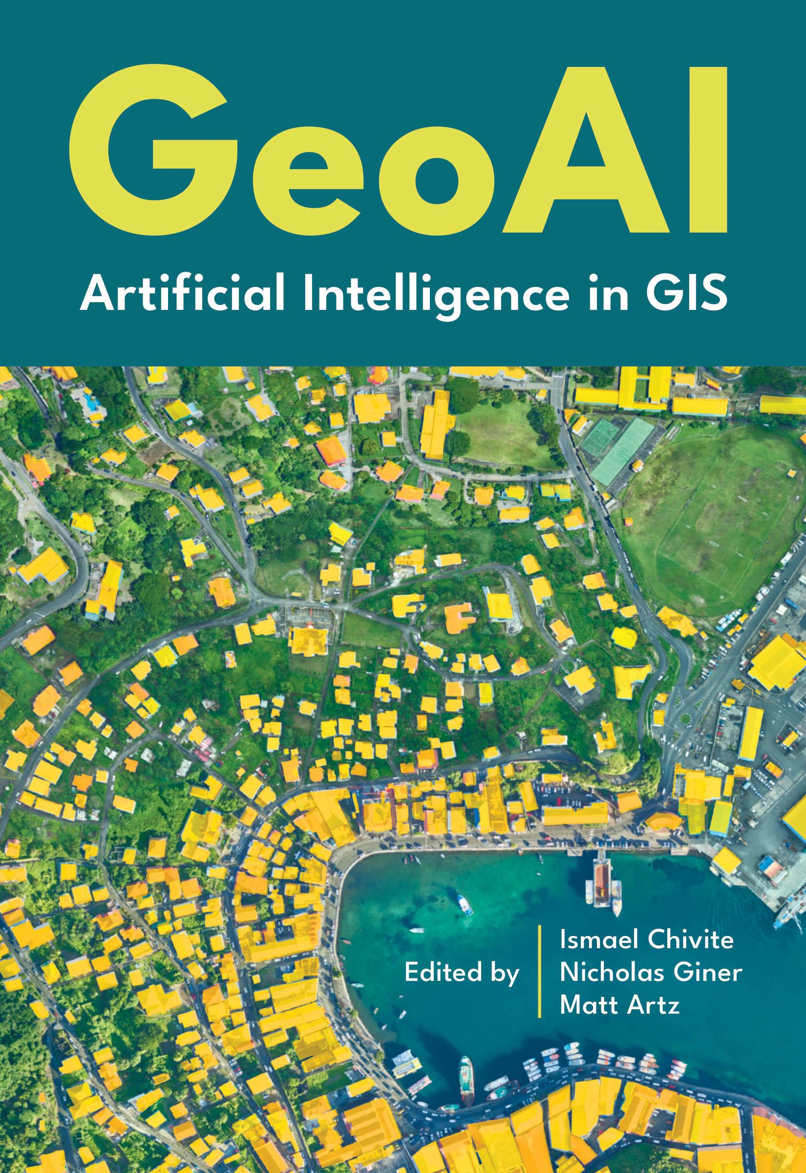
GeoAI: Artificial Intelligence in GIS explores a collection of real-life stories about public- and private-sector organizations as well as NGOs and nonprofits successfully using GeoAI and ArcGIS® to manage processes, workflows, policies, and communication. The book also includes a technology overview that provides ideas, strategies, tools, and actions to help jump-start your own use of GeoAI.
Betaal eenvoudig met kaart, Klarna, Apple Pay of Google Pay. Niet tevreden? Je hebt altijd 14 dagen bedenktijd. Lees meer in onze voorwaarden. Heb je vragen, mail ons dan via hello@memmo.org.
Memmo maakt studeren makkelijker – waar je ook bent ter wereld. Wij brengen je cursusboeken en slimme studietools samen op één plek: samenvattingen, quizzen, podcasts en flashcards. En Ted, je studievriend die antwoord geeft op alles wat je je afvraagt. Meer dan 50.000 studenten studeren hier al – gebouwd om je sneller te laten leren en minder stress te geven.