
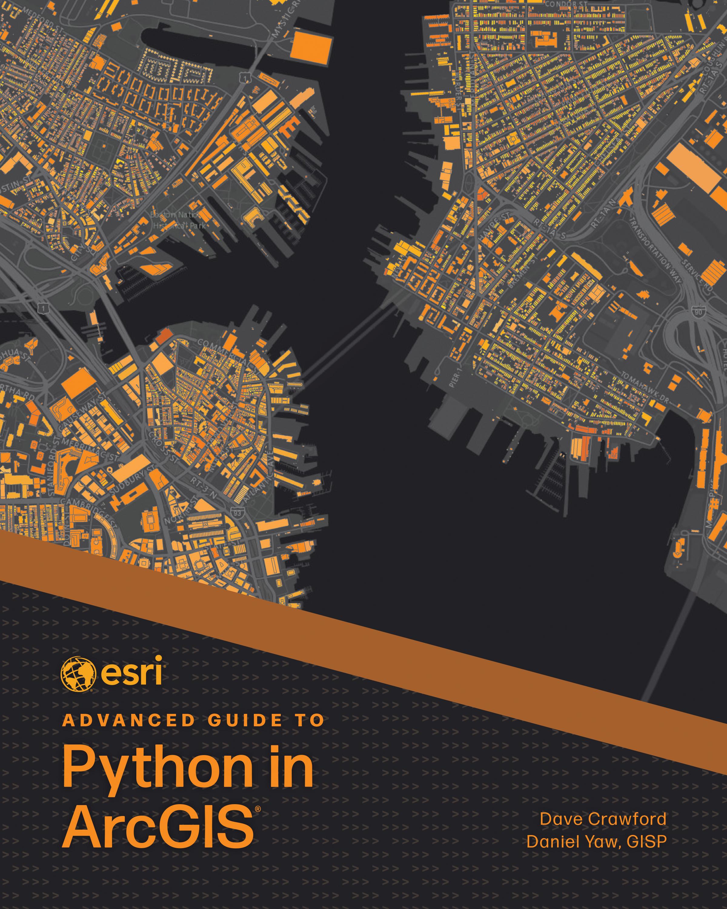
Solving complex geospatial problems and delivering solutions has never been easier.
Ready to take your Python knowledge to the next level? Esri Advanced Guide to Python in ArcGIS guides working GIS professionals through integrating Python with ArcGIS capabilities with increasing complexity through each consecutive chapter. Every chapter includes a project that teaches technical skills and problem-solving applicable to practical, job-focused assignments, including understanding client needs, performing market analytics, and managing ArcGIS Online organizations.
Esri Advanced Guide to Python in ArcGIS uses step-by-step tutorials with an informal, conversational style of writing so you can easily follow and immediately apply the skills explained. Topics include:
- Designing effective GIS Python solutions
- ArcPy and ArcGIS API for Python basics
- Using imagery and GeoAI for advanced analysis
- Object-oriented programming
- Delivering work in various formats: Python scripts, Jupyter Notebook, ArcGIS Pro tools, geoprocessing services, and web applications
- Data engineering and manipulation techniques
- Managing ArcGIS Enterprise, ArcGIS Online, and other portal administration
Perfect for intermediate to advanced programmers looking to enhance their GIS capabilities, Esri Advanced Guide to Python in ArcGIS will quickly help you become skilled at using Python for geospatial solutions and become more proficient and capable in your work.
Betaal eenvoudig met kaart, Klarna, Apple Pay of Google Pay. Niet tevreden? Je hebt altijd 14 dagen bedenktijd. Lees meer in onze voorwaarden. Heb je vragen, mail ons dan via hello@memmo.org.
Memmo maakt studeren makkelijker – waar je ook bent ter wereld. Wij brengen je cursusboeken en slimme studietools samen op één plek: samenvattingen, quizzen, podcasts en flashcards. En Ted, je studievriend die antwoord geeft op alles wat je je afvraagt. Meer dan 50.000 studenten studeren hier al – gebouwd om je sneller te laten leren en minder stress te geven.