
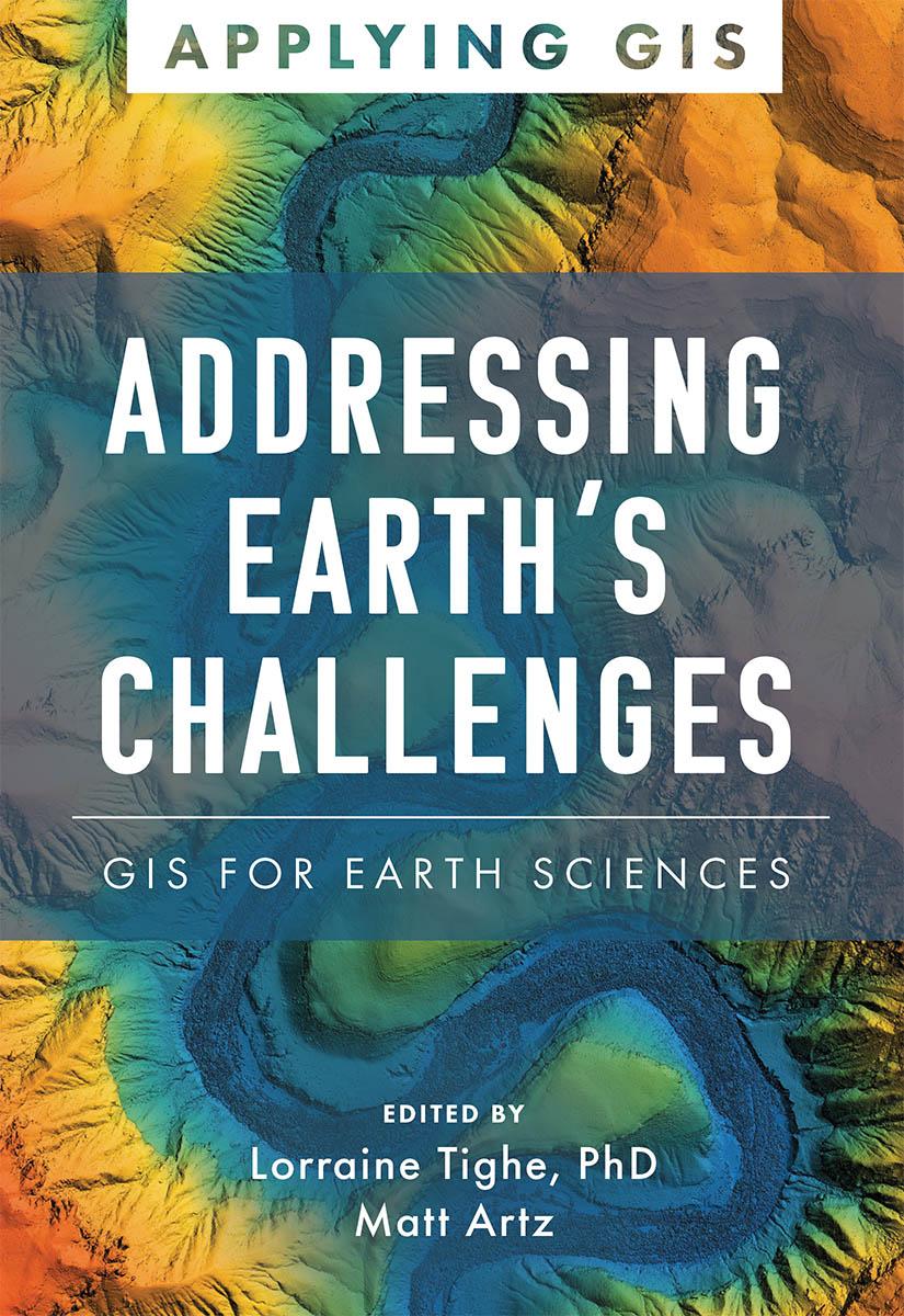
Discover The Geographic Approach to enabling science for a more exceptional planet.
Place matters to governments and citizens, and location intelligence and data science have never been more critical for smarter national decision-making. Addressing Earth’s Challenges: GIS for Earth Sciences explores a collection of real-life stories about how earth science organizations successfully use geographic information systems (GIS) to visualize and analyze data to streamline workflows, gain competitive insight, drive decision-making, design efficient operations, and foster civic inclusion.
Find out how multiple organizations implement GIS in six scientific fields:
- geoscience,
- sustainable energy,
- environmental monitoring,
- climate science,
- weather, and
- marine science.
The book also includes a section on next steps that provides helpful ideas, strategies, tools, and actions to help jump-start your use of GIS for earth sciences. A collection of online resources, including additional stories, videos, new ideas and concepts, and downloadable tools and content, complements this book.
Betaal eenvoudig met kaart, Klarna, Apple Pay of Google Pay. Niet tevreden? Je hebt altijd 14 dagen bedenktijd. Lees meer in onze voorwaarden. Heb je vragen, mail ons dan via hello@memmo.org.
Memmo maakt studeren makkelijker – waar je ook bent ter wereld. Wij brengen je cursusboeken en slimme studietools samen op één plek: samenvattingen, quizzen, podcasts en flashcards. En Ted, je studievriend die antwoord geeft op alles wat je je afvraagt. Meer dan 50.000 studenten studeren hier al – gebouwd om je sneller te laten leren en minder stress te geven.