
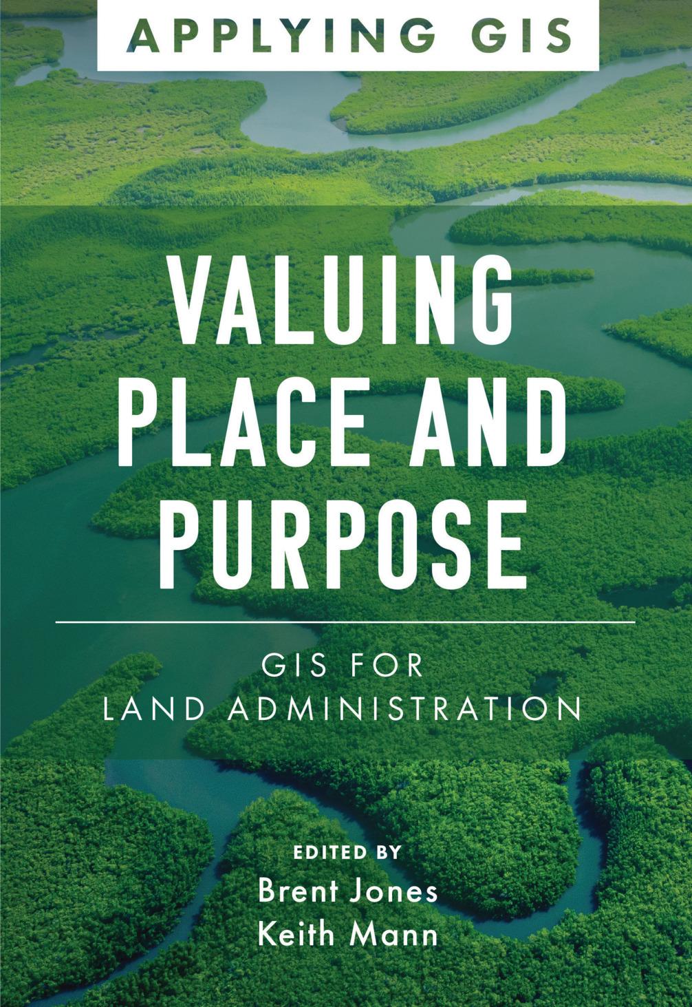
Modern land administration applies geospatial thinking to better understand and plan the proper use, conservation, and equitable use of land and property.
Location intelligence is changing the way land administration works to protect and maintain appropriate land use and achieve better economic, environmental, and social benefits. The real-life stories in Valuing Place and Purpose: GIS for Land Administration show how communities, government agencies, nonprofits, and other organizations implement geographic information systems (GIS) in four key areas:
· Visualizing parcels and property
· Managing land use
· Strengthening climate and conservation efforts
· Addressing land rights, equity, and social justice
The book also includes a special section to help readers get started using web apps, online maps, dashboards, and other GIS solutions to represent and understand the value of land and property and efficiently manage, edit, and share land parcel data more accurately.
Betaal eenvoudig met kaart, Klarna, Apple Pay of Google Pay. Niet tevreden? Je hebt altijd 14 dagen bedenktijd. Lees meer in onze voorwaarden. Heb je vragen, mail ons dan via hello@memmo.org.
Memmo maakt studeren makkelijker – waar je ook bent ter wereld. Wij brengen je cursusboeken en slimme studietools samen op één plek: samenvattingen, quizzen, podcasts en flashcards. En Ted, je studievriend die antwoord geeft op alles wat je je afvraagt. Meer dan 50.000 studenten studeren hier al – gebouwd om je sneller te laten leren en minder stress te geven.